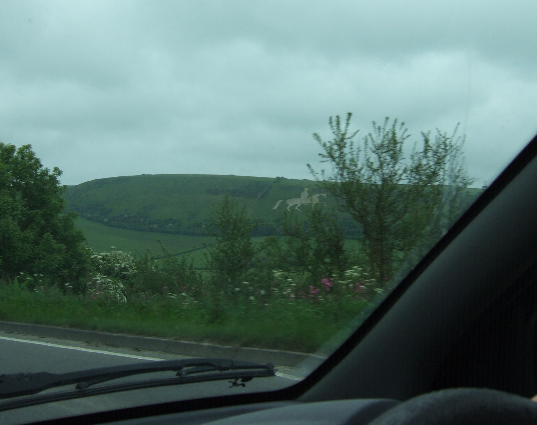
Yesterday we headed out to visit the Larmer Tree Gardens, near Tollard Royal in south Wiltshire. These beautiful Victorian gardens have the distinction of being the first privately owned gardens in the UK that were opened for the enjoyment of the general public.
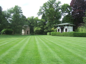
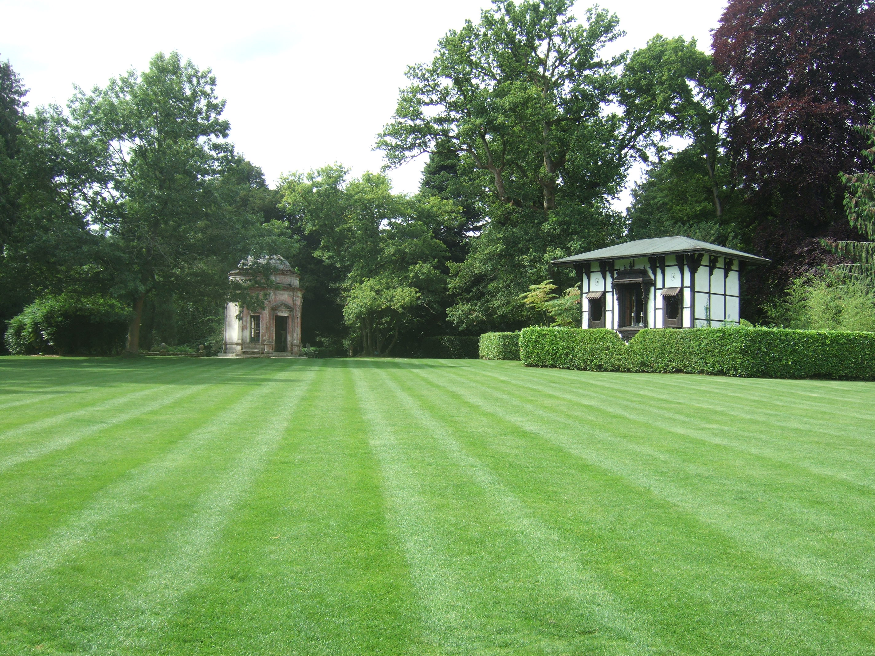
The Larmer Tree Gardens: the Temple on the left and the General’s Room on the right.
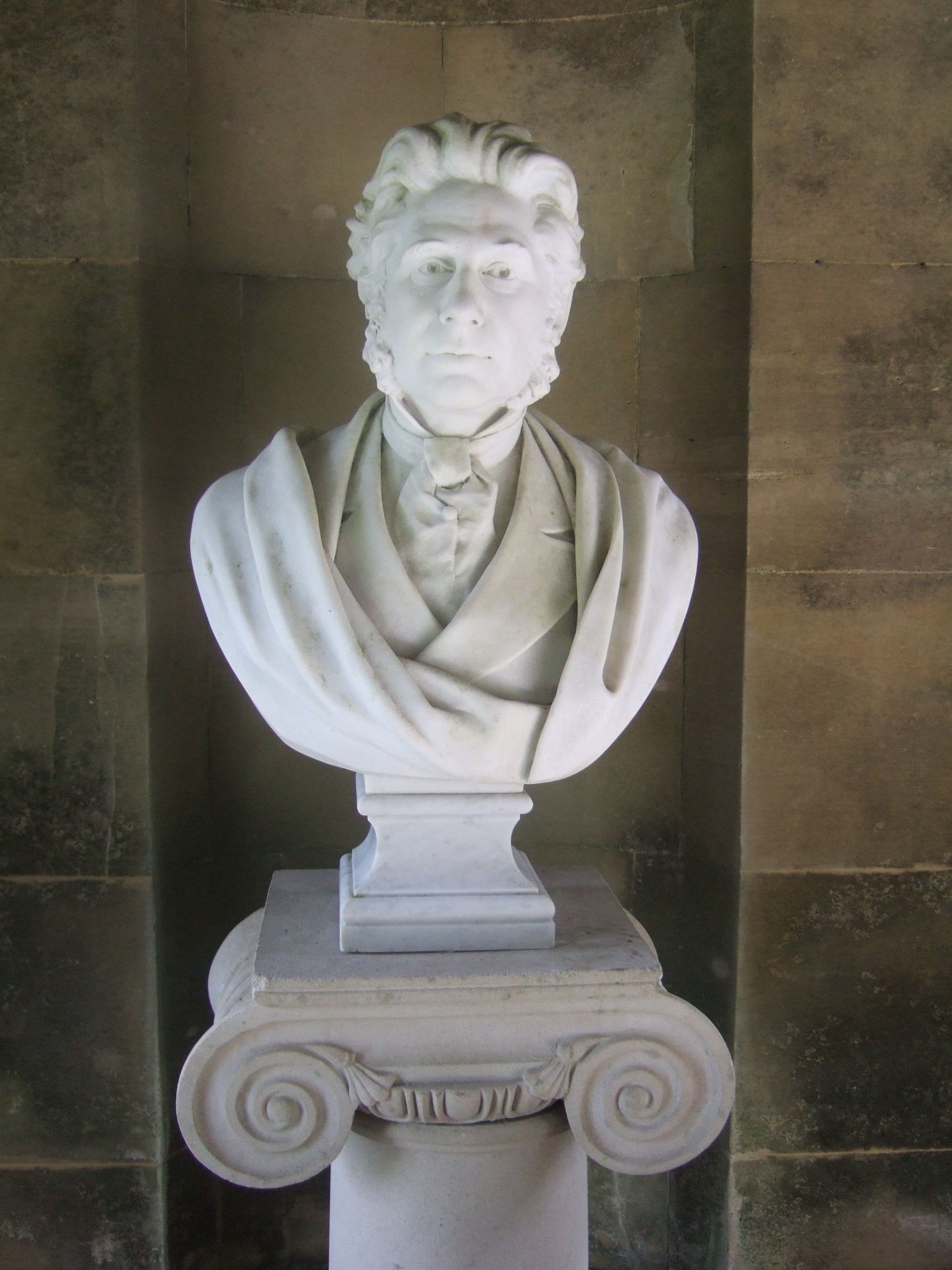
The gardens are on the Rushmore Estate, which is in the ownership of the Pitt Rivers family. In 1880 Augustus Pitt Rivers inherited the estate, and started work almost immediately on the gardens, the development of which continued over the entire 20 years that the gardens were open.
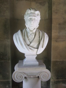
Bust of Augustus Pitt Rivers in the Temple at the Larmer Tree Gardens.
The gardens became a massive attraction, at one point entertaining 44,000 visitors a year. Thomas Hardy visited, and even wrote a poem celebrating an evening spent there. The gardens closed with the death of Pitt Rivers in 1900, and gradually fell into disrepair.
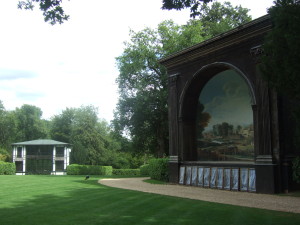
The Lower Indian Room (left) and the Singing Theatre (right) at the Larmer Tree Gardens.
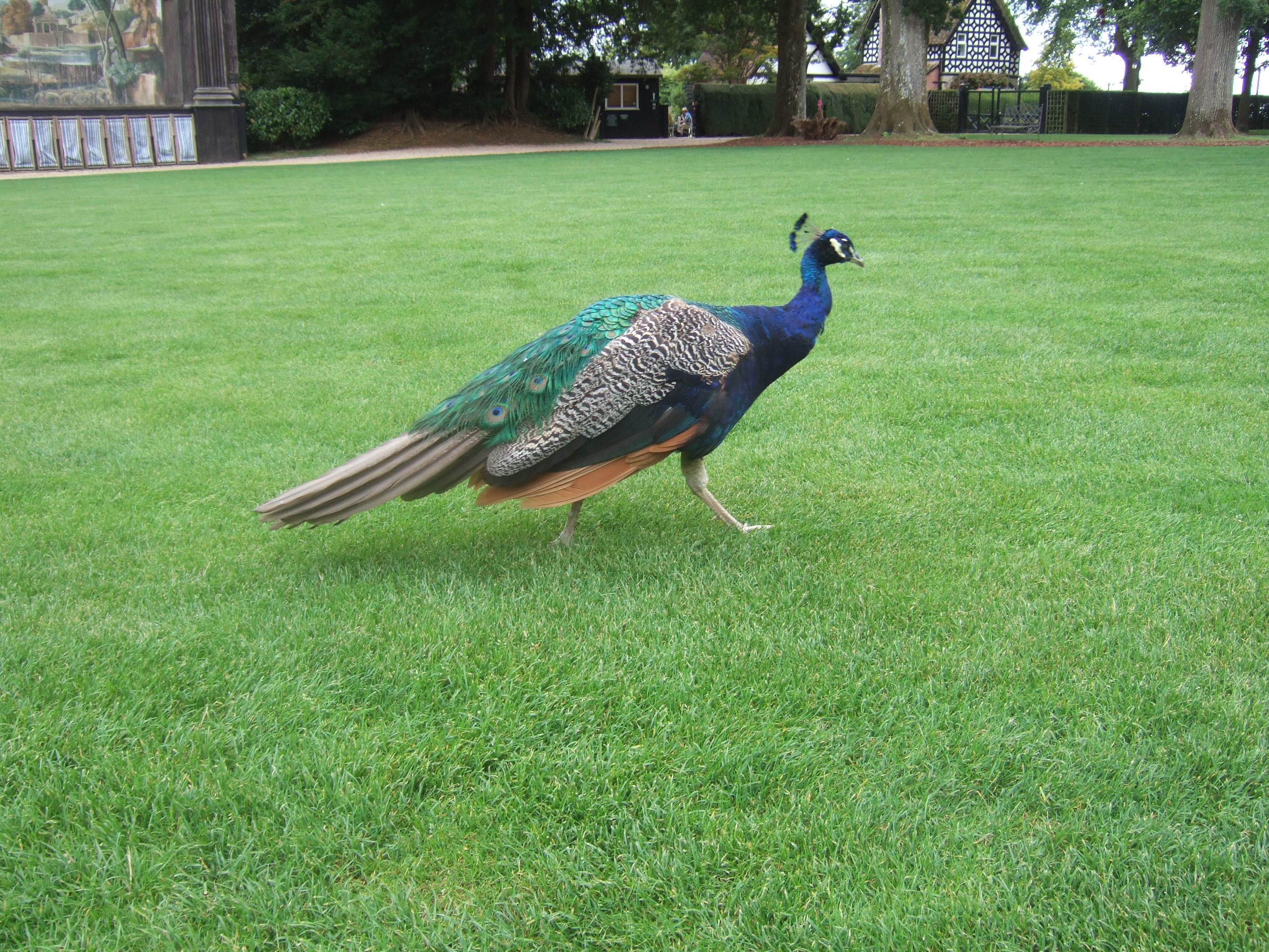
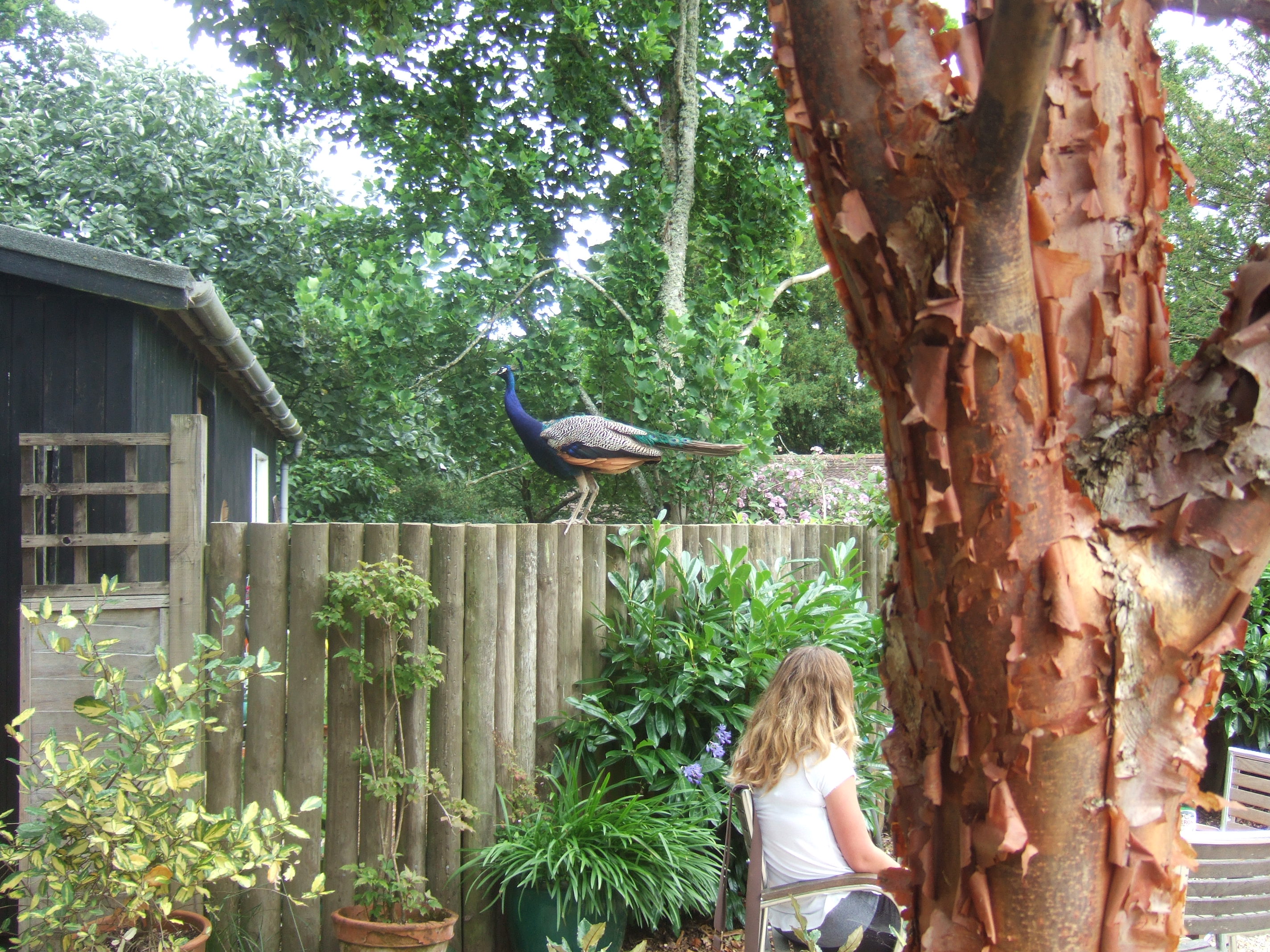
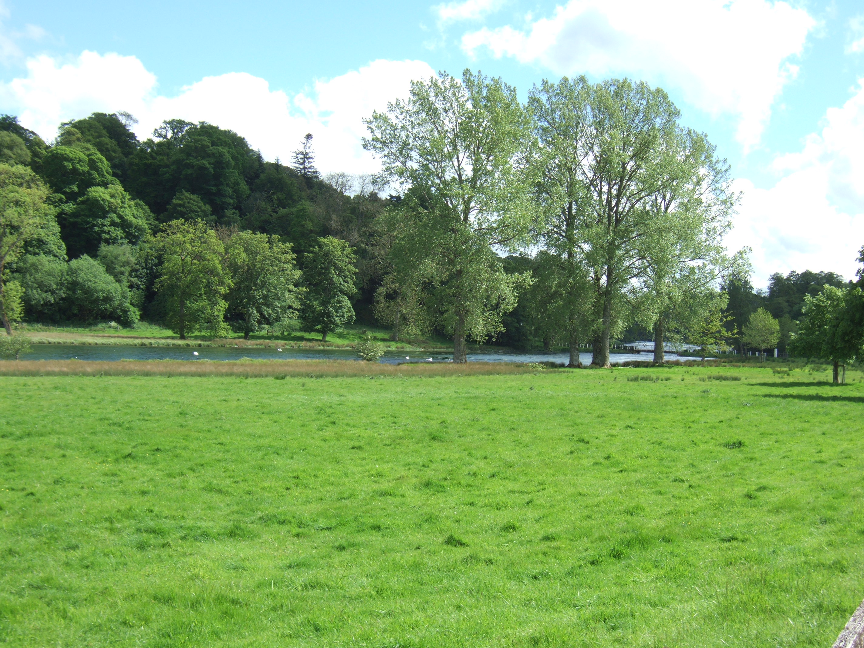
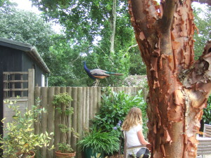
The central lawn area is surrounded by various structures and buildings; others are set further back in the gardens, linked to the central lawn by wide grass paths flanked by cherry laurel hedges. These hedges also enclose several small picnicking areas, all part of Pitt Rivers’ design to allow the maximum enjoyment of the gardens by his estate workers and the general public. Around the edges of the garden are woodland areas and a few herbaceous beds. However, it is the buildings around the lawn that characterise this extraordinary garden, though the free-roaming peacocks and macaws are pretty iconic too.
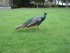
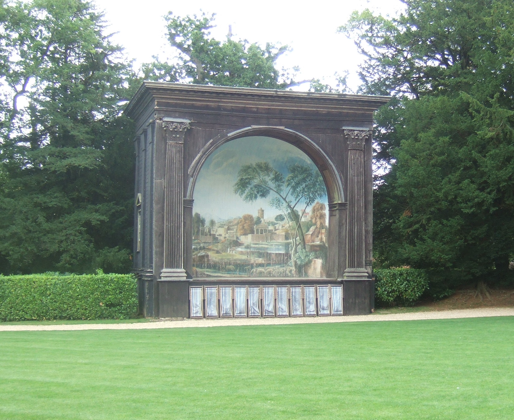
Free-roaming peacock at the Larmer Tree Gardens. In the background are the Singing Theatre (left) and the Lodge (right).
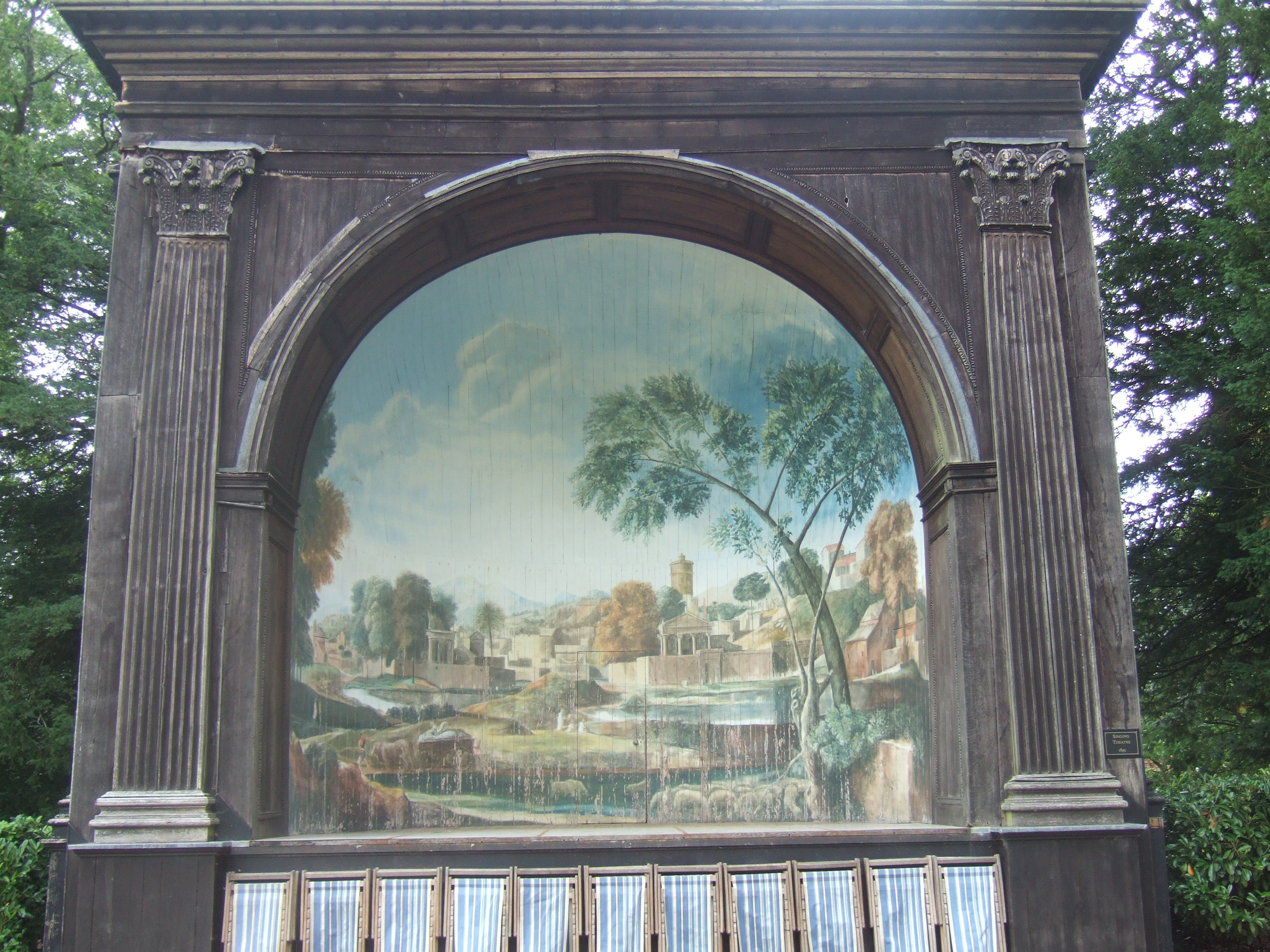
By the entrance gate at the southern edge of the gardens is the Lodge, which now houses the cafe and a private residence. Next to this around the lawn is the magnificent Singing Theatre, with its wooden structure and painted backdrop. The paintwork is peeling and faded, and mercifully the theatre hasn’t been restored from its gently and elegantly ageing state.

The Singing Theatre at the Larmer Tree Gardens.

The Singing Theatre at the Larmer Tree Gardens.
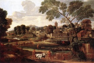
The Funeral of Phocion by Nicolas Poussin (1648), the painting on which the Singing Theatre painted backdrop is based.
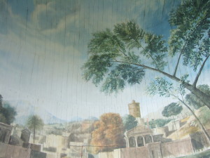
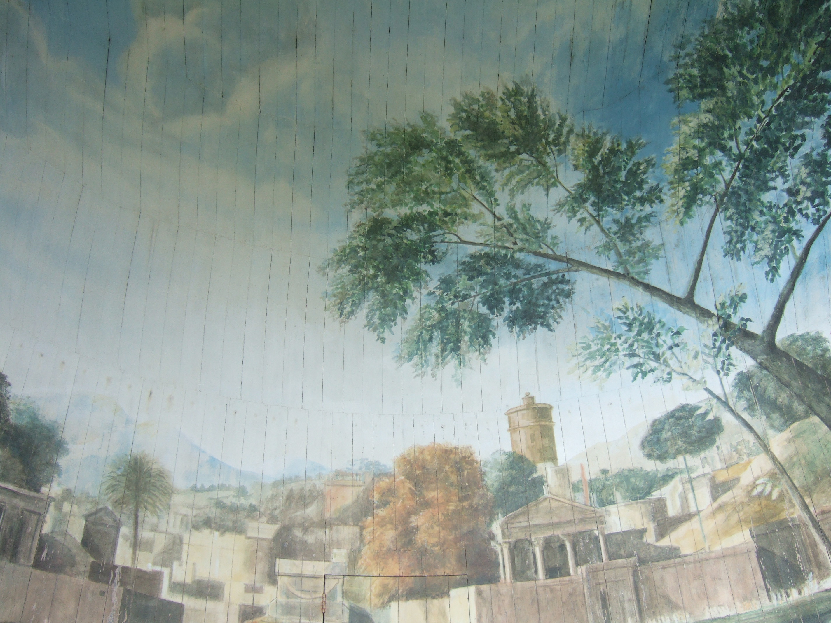
Detail of the painted backdrop: you can clearly see the boards onto which the painting has been made.
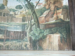
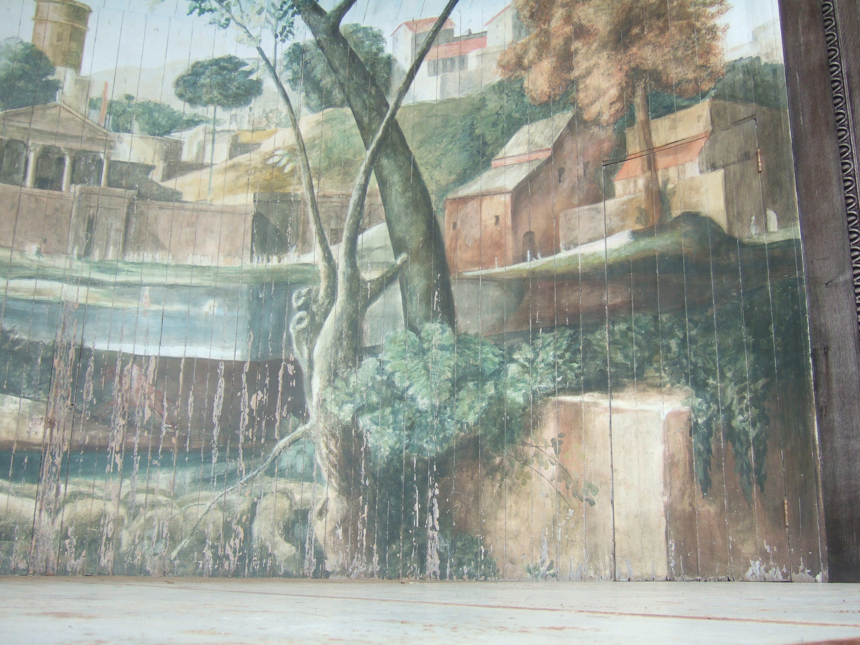
Detail of the painted backdrop. There are three doors hidden in the painting: one at the back and one at either side.
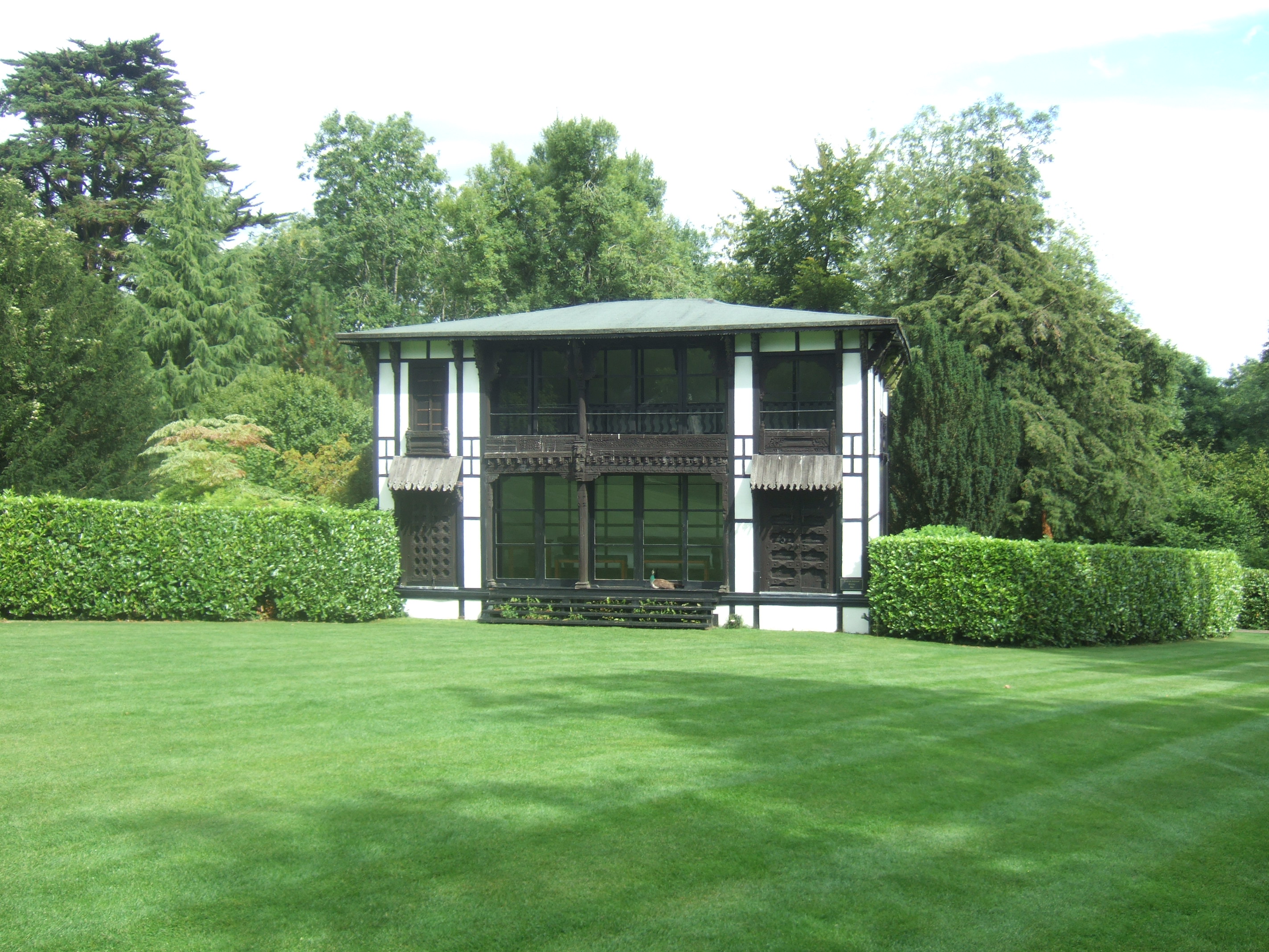
Next is the Lower Indian Room, and then the General’s Room. Both of these are traditional Indian buildings transposed to a bucolic English setting.
The Lower Indian Room at the Larmer Tree Gardens, with peahen resting on the front verandah.
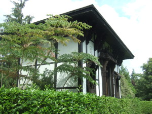
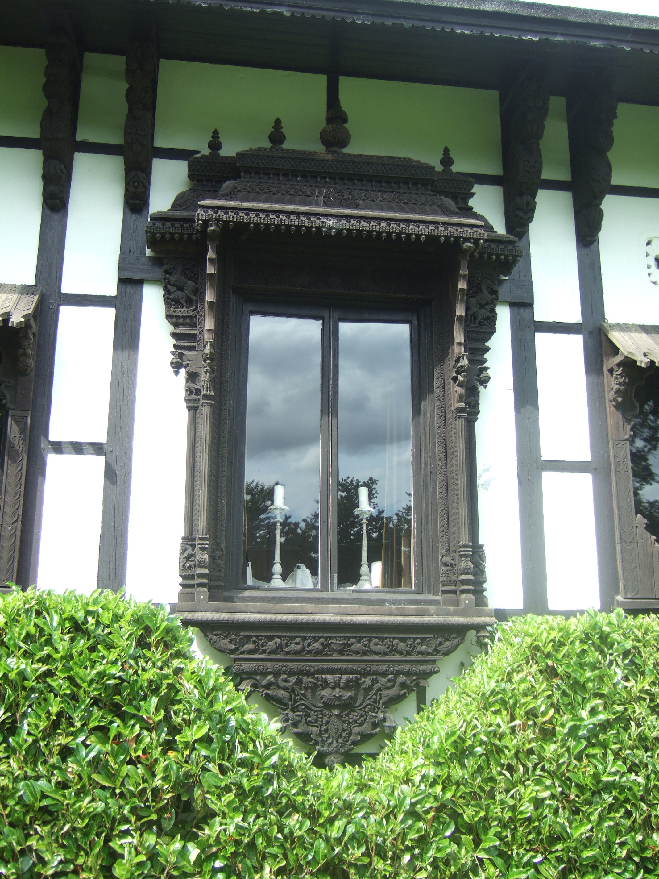
The General’s Room at the Larmer Tree Gardens.
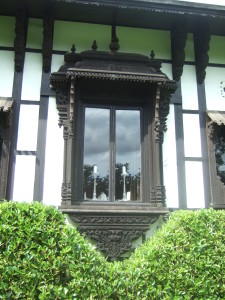
Detail of an intricately carved window of the General’s Room at the Larmer Tree Gardens.
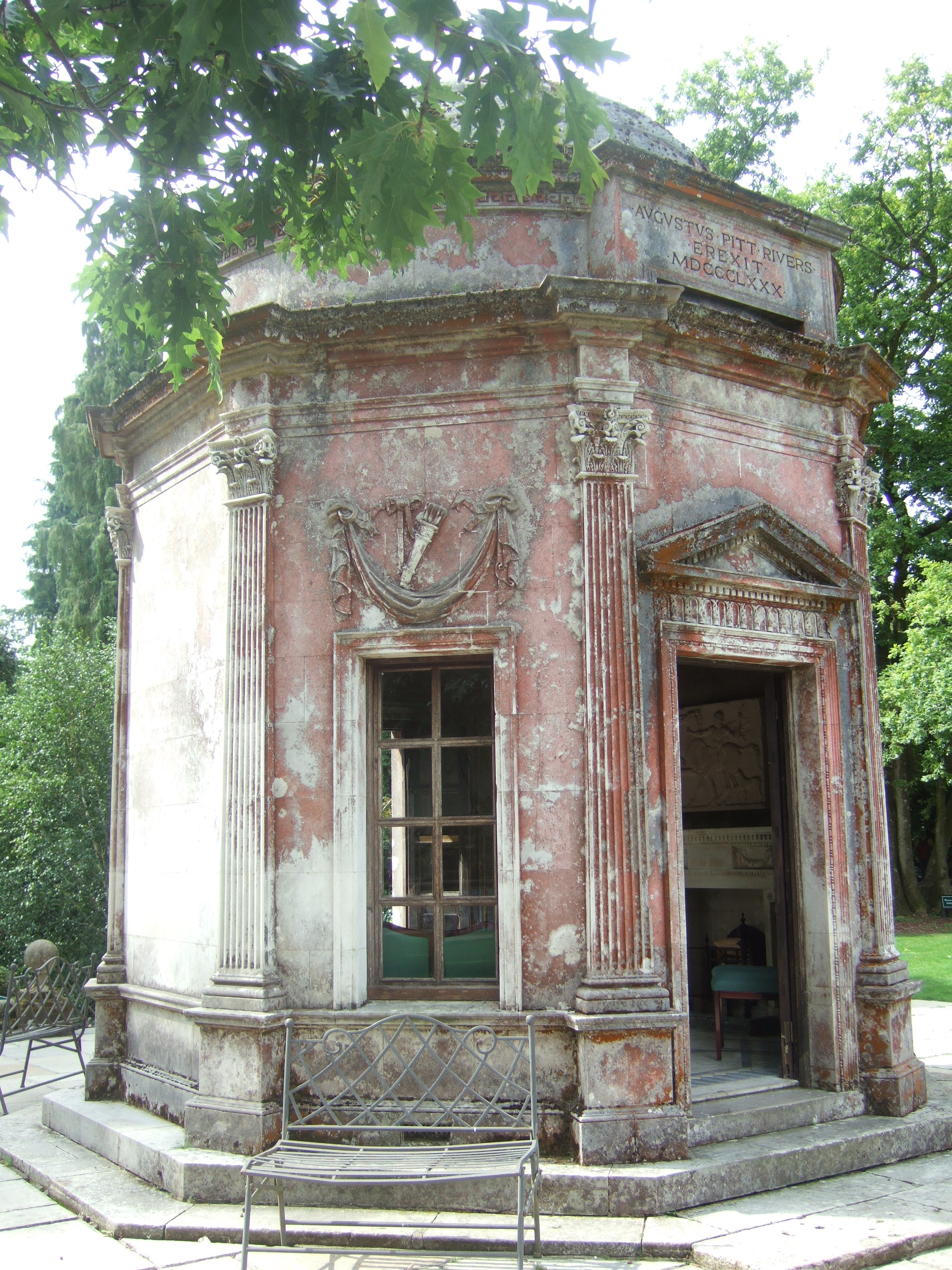
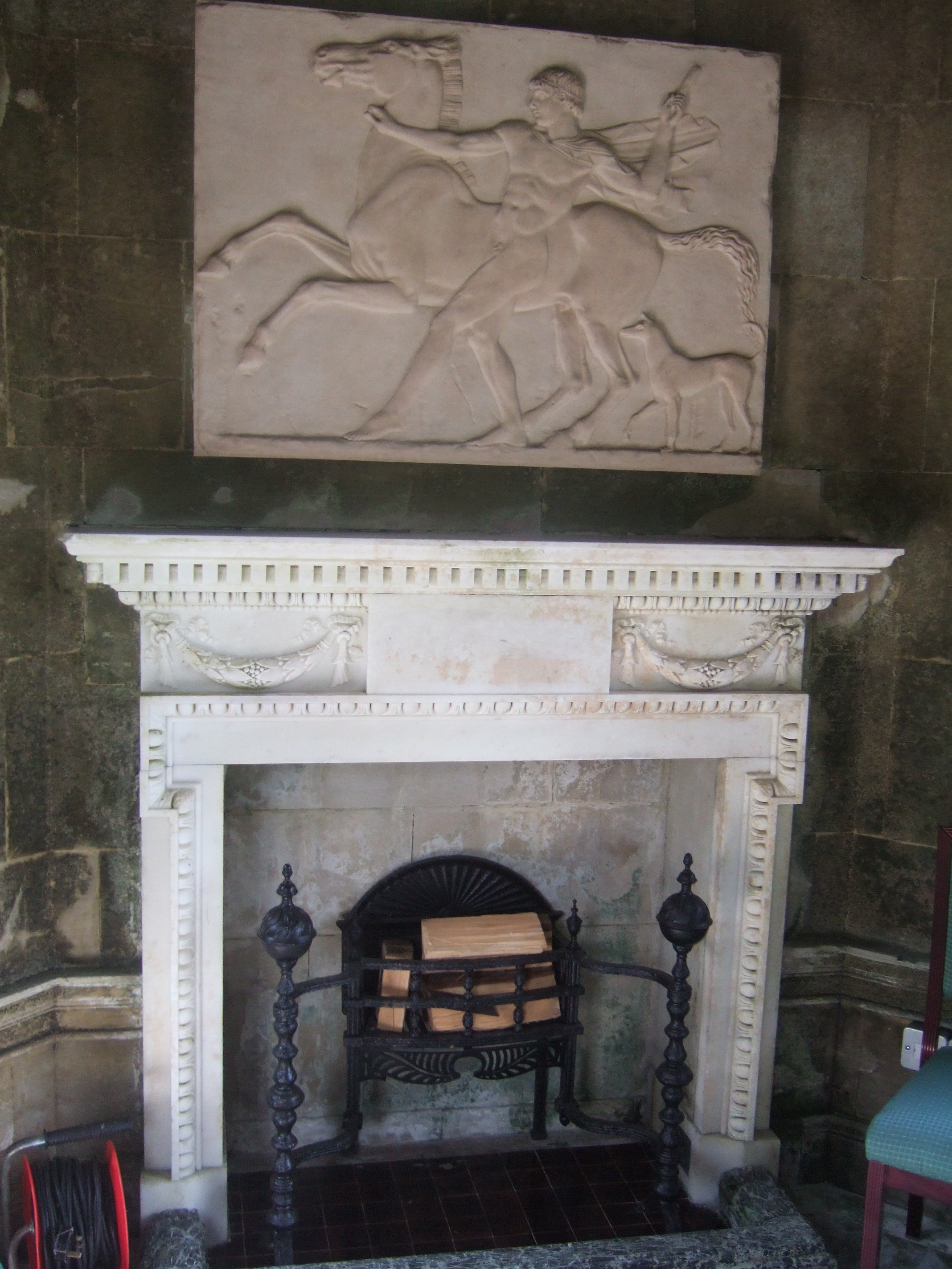
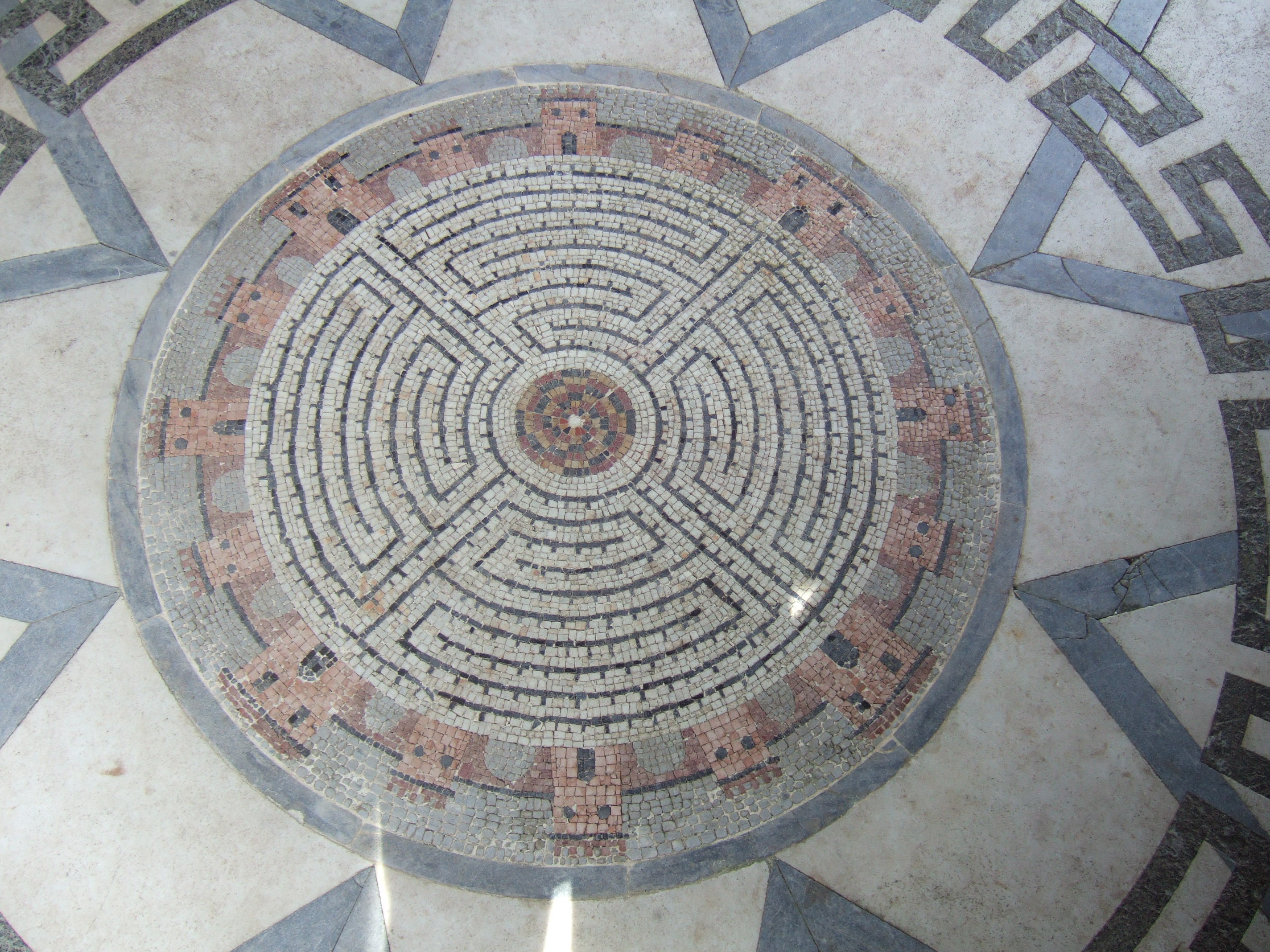
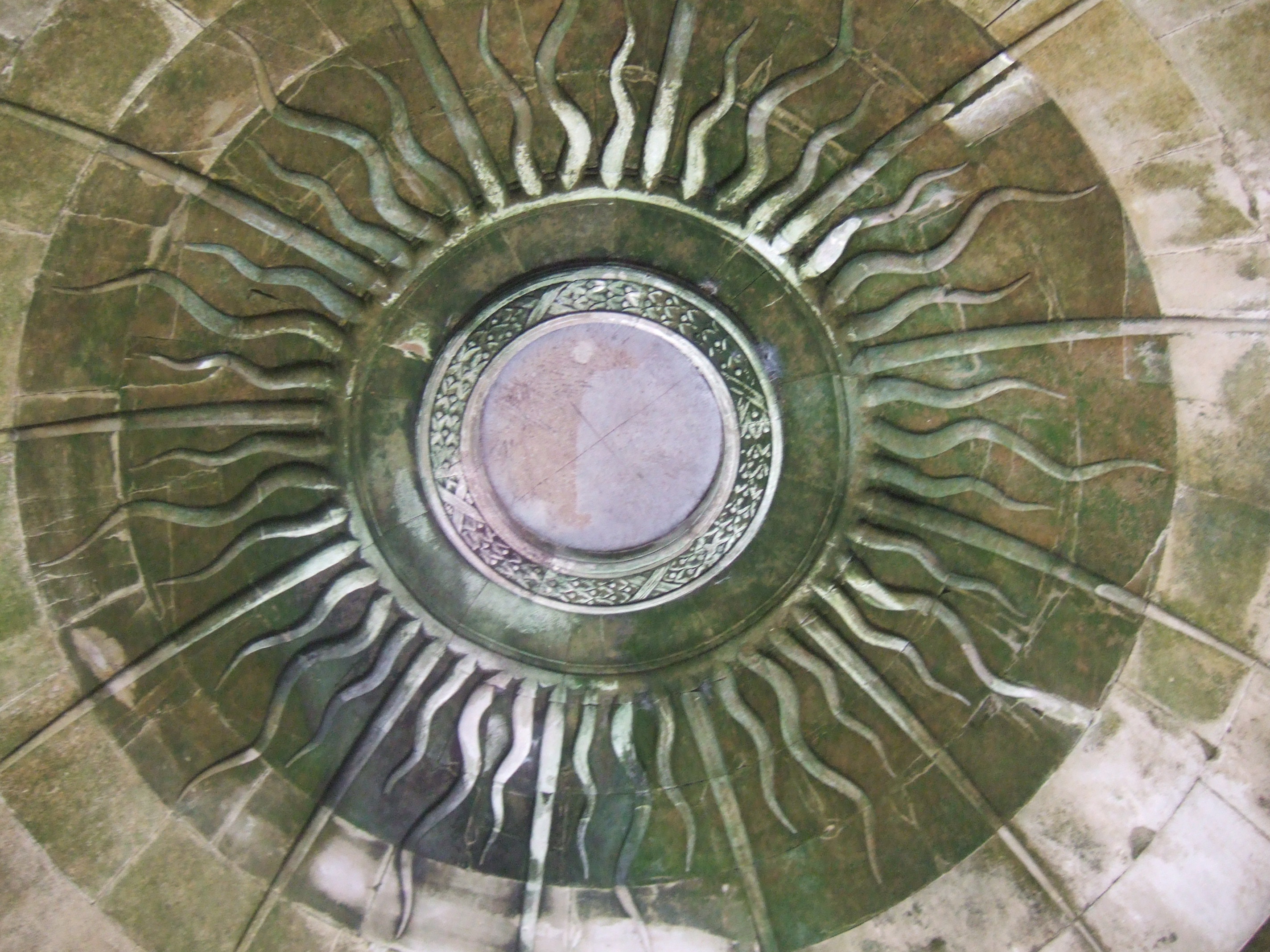
The final building around the lawn is the Temple, a beautiful small stone building in the Palladian style. It has a fireplace and a beautiful floor (including a maze mosaic) and decorative ceiling, and I can so easily picture Augustus sitting there with his pipe, reading a tome or working on his archaeological notes.

The Temple at the Larmer Tree Gardens. The reddish hue on some of the stonework is due to lichen.
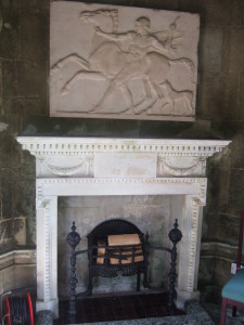
The white marble fireplace in the temple at the Larmer Tree Gardens.
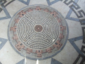
The maze mosaic in the floor of the Temple at the Larmer Tree Gardens.
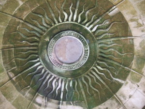
Domed stone ceiling with carved sun-ray motif in the Temple at the Larmer Tree Gardens.
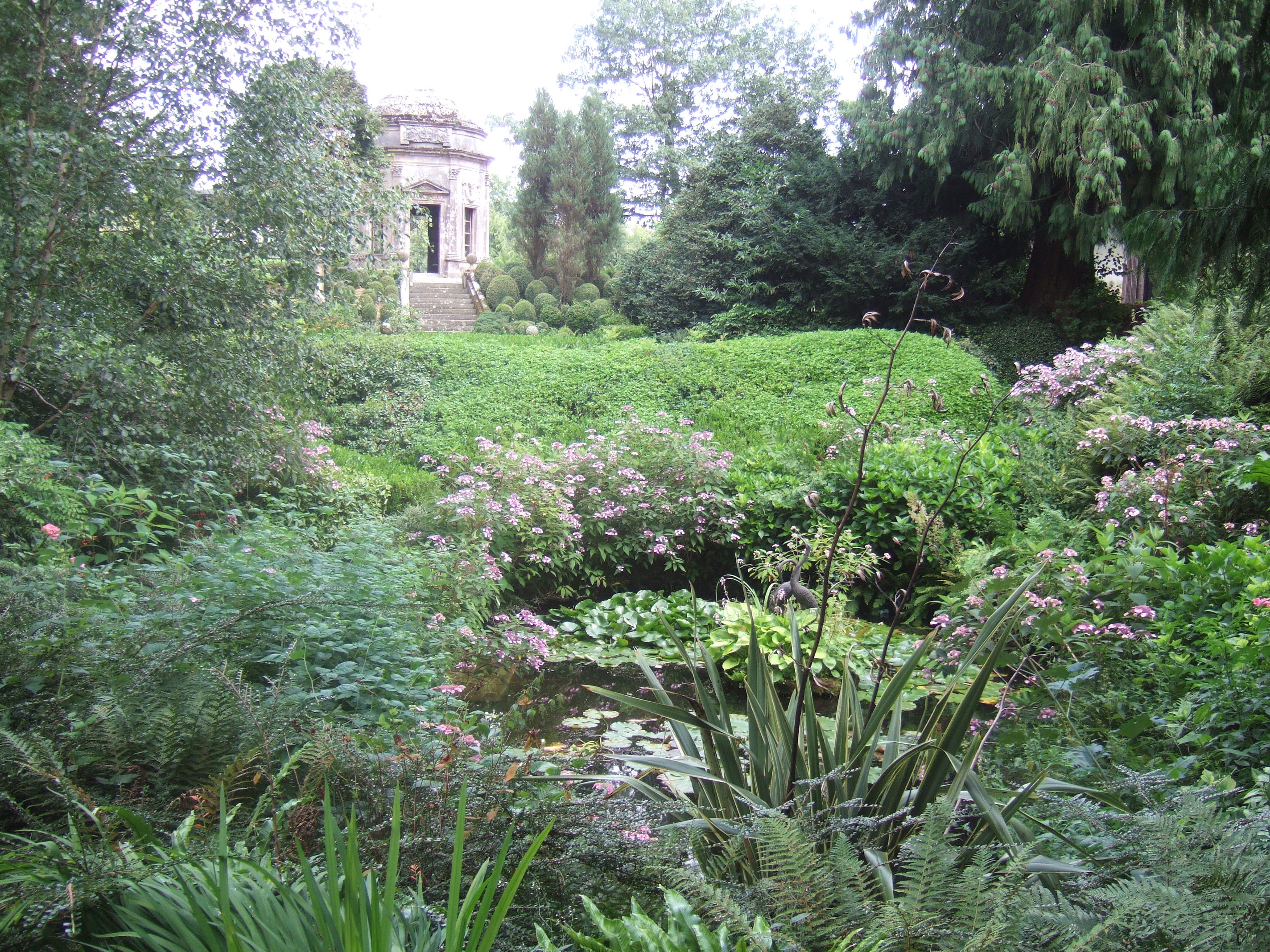
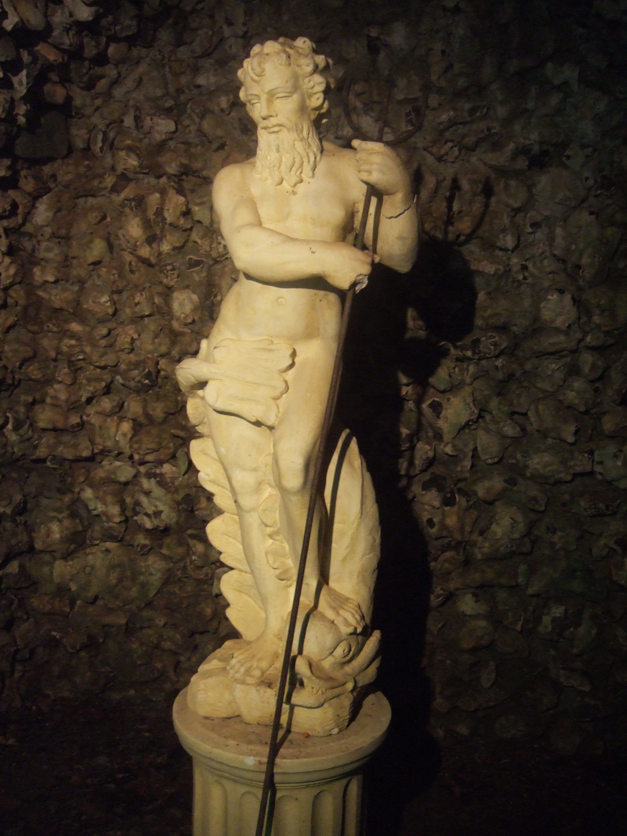
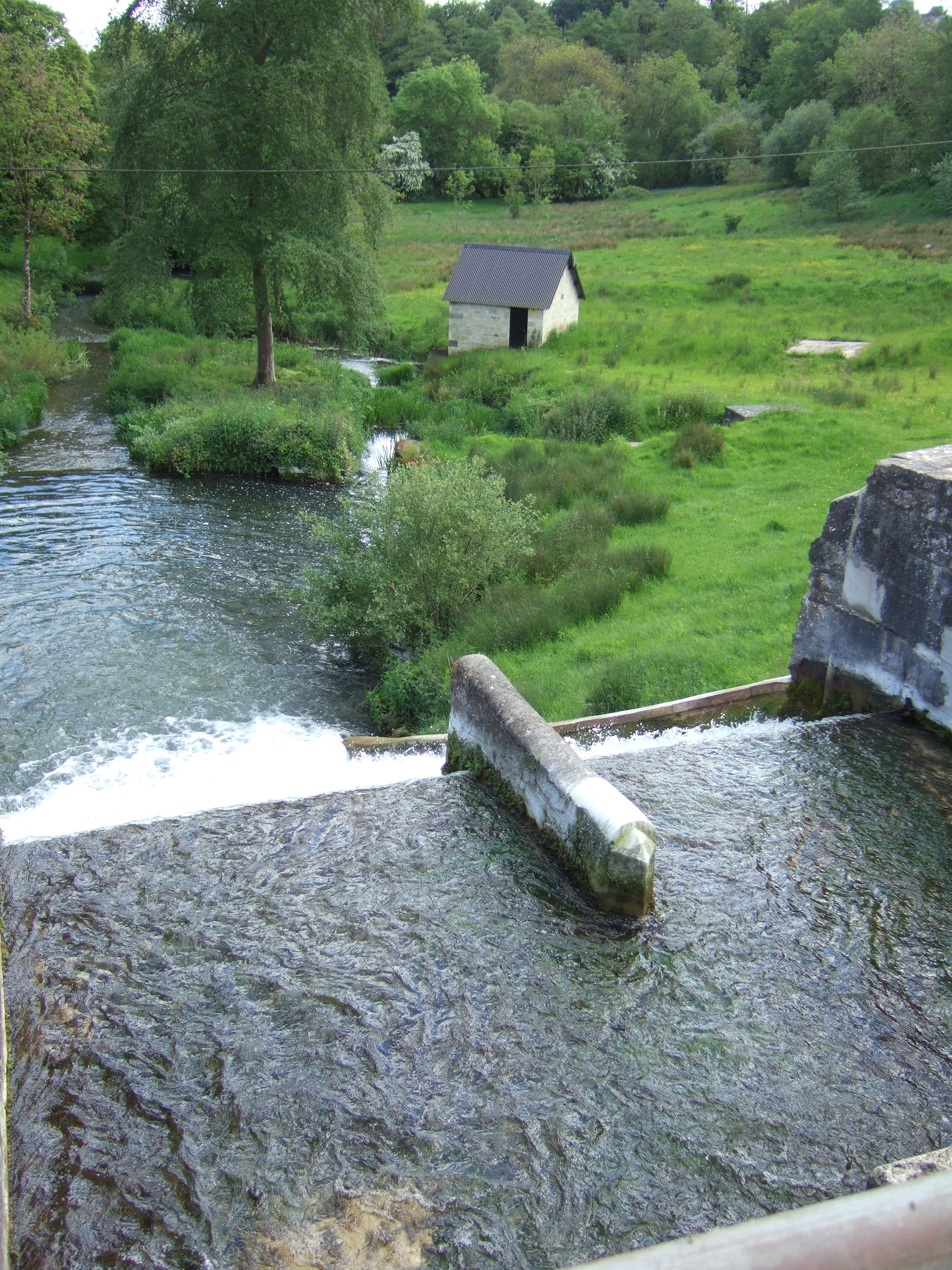
A steep flight of steps lead down from the Temple to a series of ornamental ponds with small waterfalls, with a small grotto complete with statue of Neptune complete with trident.
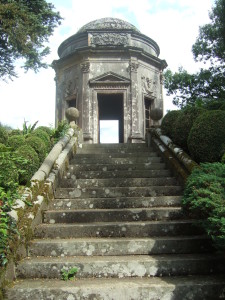
The Temple at the Larmer Tree Gardens.
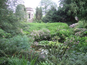
View of the Temple across the ornamental ponds at the Larmer Tree Gardens.
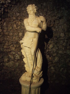
Neptune in his flint nodule-lined grotto at the Larmer Tree Gardens.
Further behind the central lawn are two small thatched wooden shelters, Band View and Stag’s Arbour, and the corrugated iron-clad Jubilee Hall, built to celebrate the 50th anniversary of the reign of Queen Victoria.
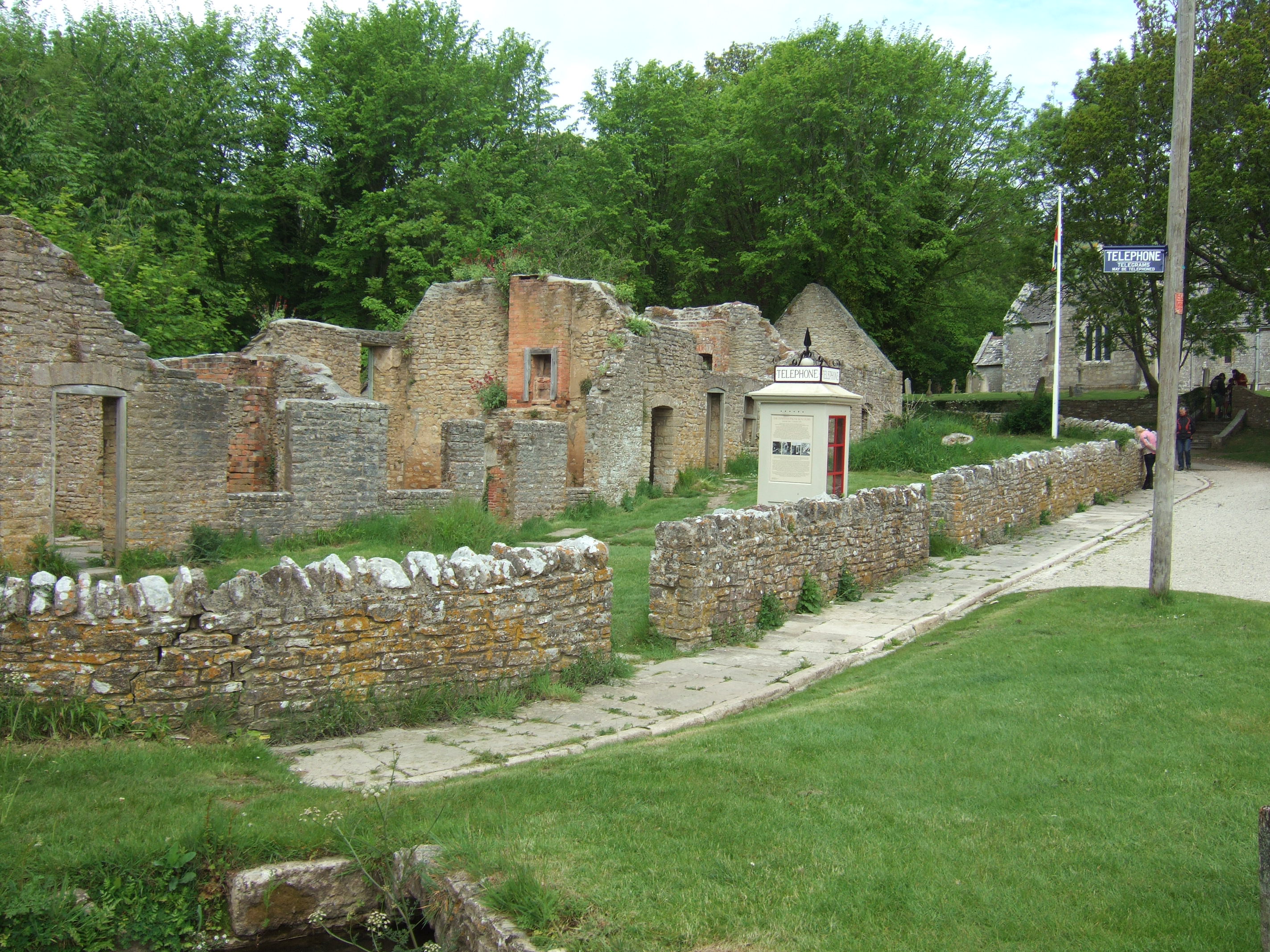
Following Augustus Pitt Rivers’ death, the gardens were neglected, with the cherry laurels gradually taking over and swamping the carefully-maintained paths and small picnic gardens, and the buildings slowly falling into disrepair, with some rotting away all together: the octagonal base of the bandstand is still visible by the lawn, and another building base on the opposite side near the Singing Theatre. The restoration was started in 1991, and the gardens reopened in 1995.
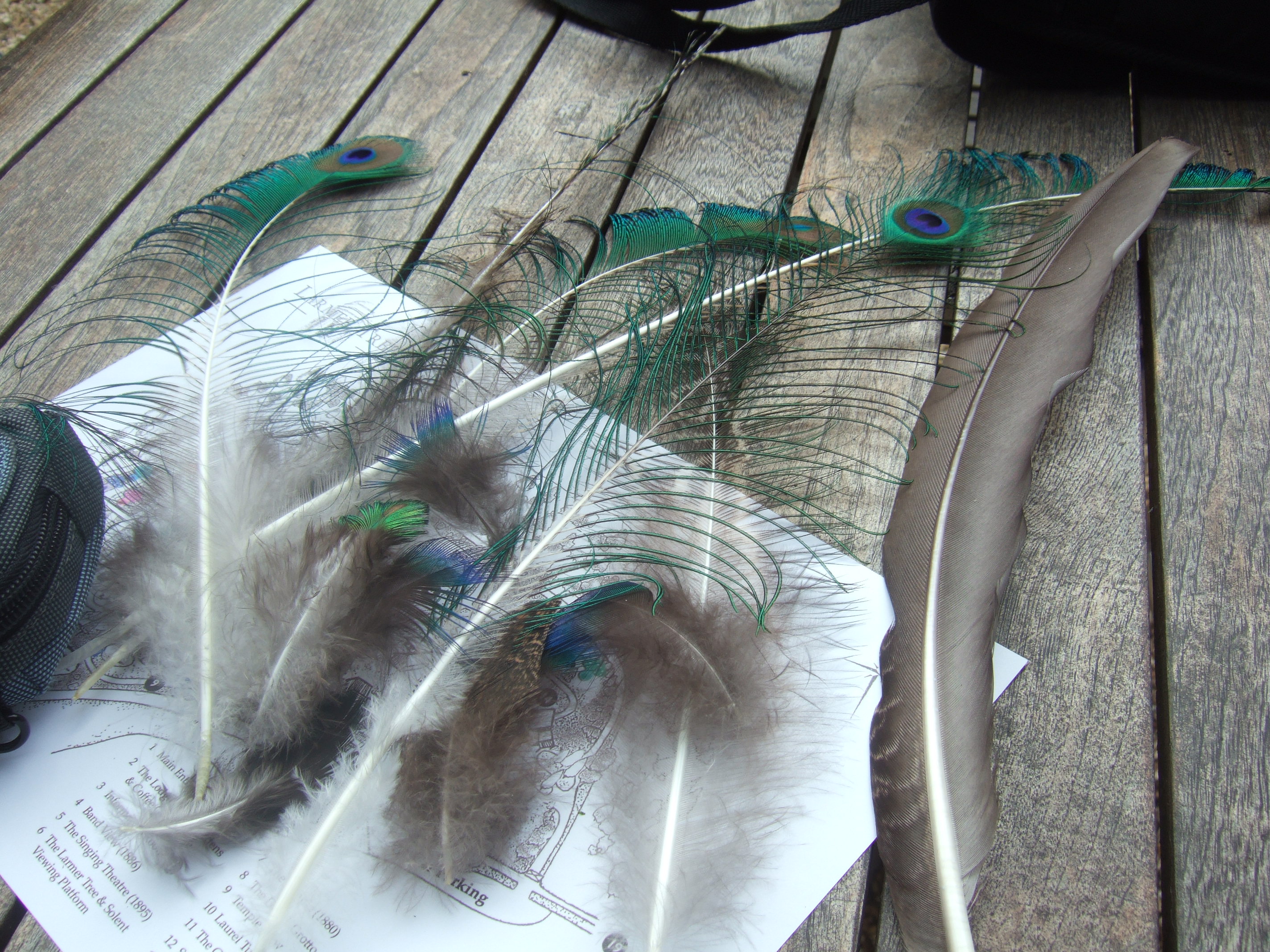
The gardens have a wonderful atmosphere. There are deck chairs available for visitors’ use, as well as a croquet set, apparently. Peacocks roam freely throughout the gardens: the lady in the cafe told us that one of the peahens had two chicks, but we didn’t spot them. The males have lost their glorious tail feathers in their annual moult, but were still very spectacular.
A canny peacock lurking at the cafe garden at the Larmer Tree Gardens. Lovely bark on the Acer griseum tree in the foreground.

My haul of shed peacock feathers.
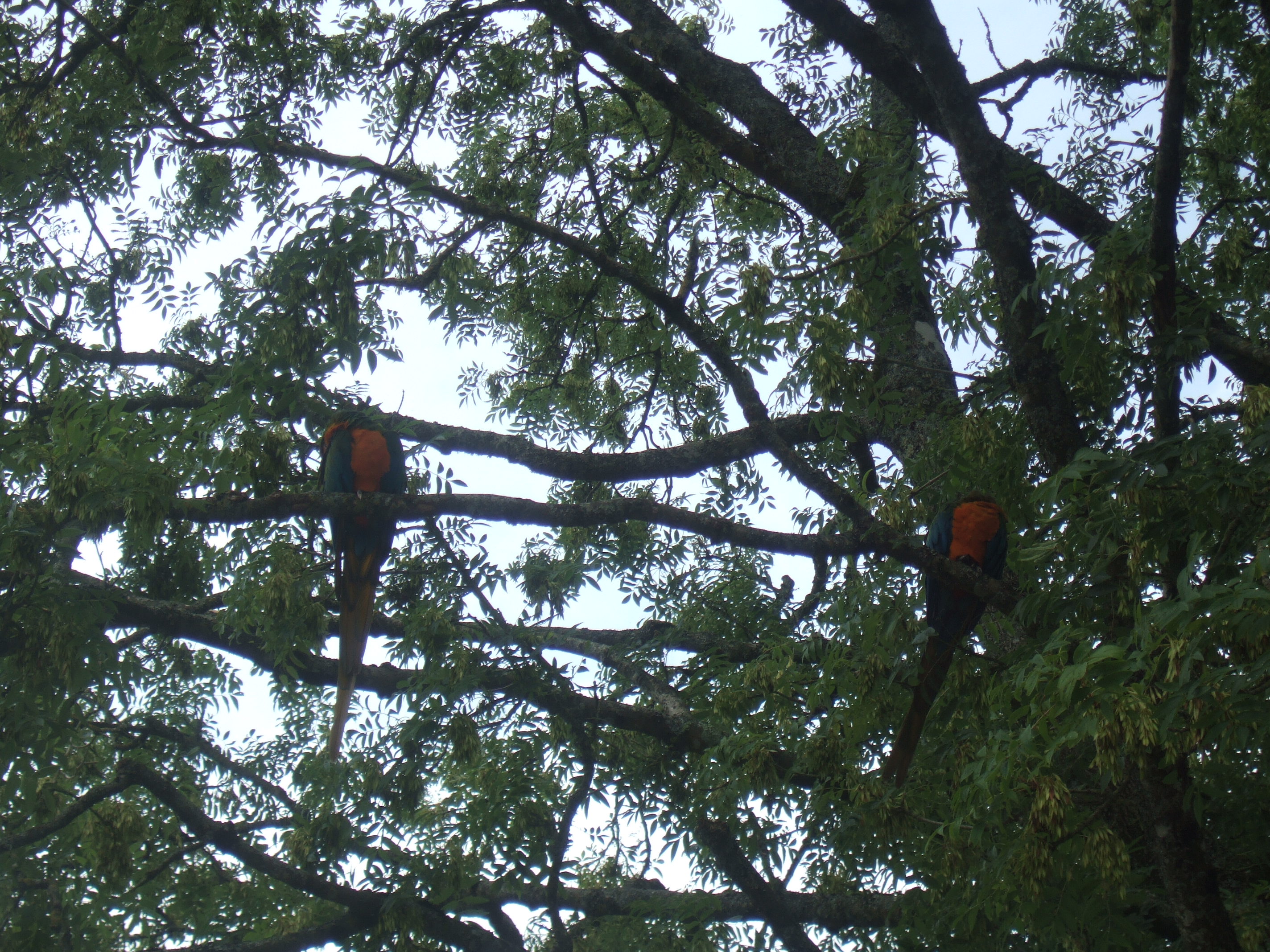
And we loved seeing the pair of macaws sitting in an ash tree: such an unexpected sight for an English country garden!

Macaws in an ash tree at the Larmer Tree Gardens.
They are totally free to come and go as they please, and apparently are often seen at the nearby Rushmore Golf Course.
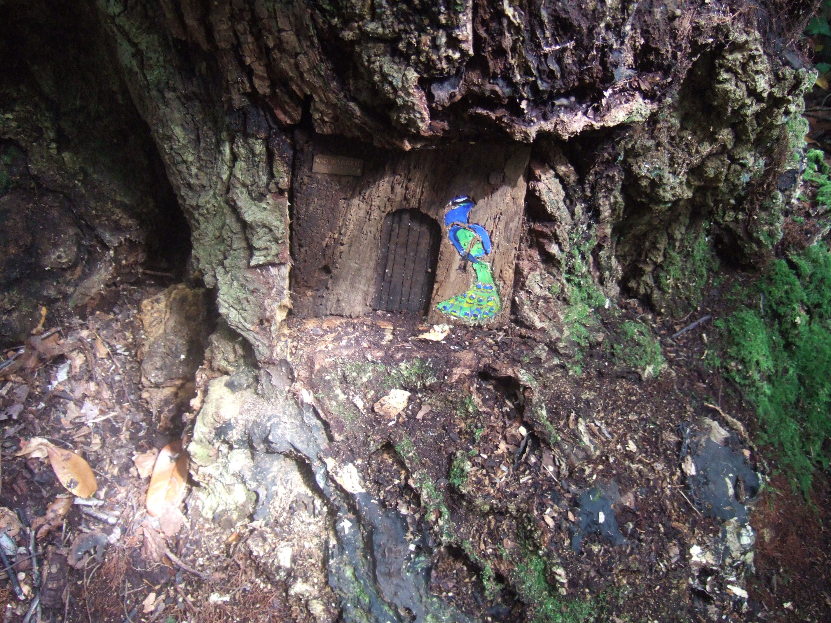
An extra treat for children (and the young at heart) visiting the gardens are the eleven fairy doors hidden in the base of trees the gardens. We found three:
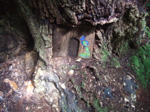
Peacock fairy door at the Larmer Tree Gardens.
Peacock fairy door at the Larmer Tree Gardens.

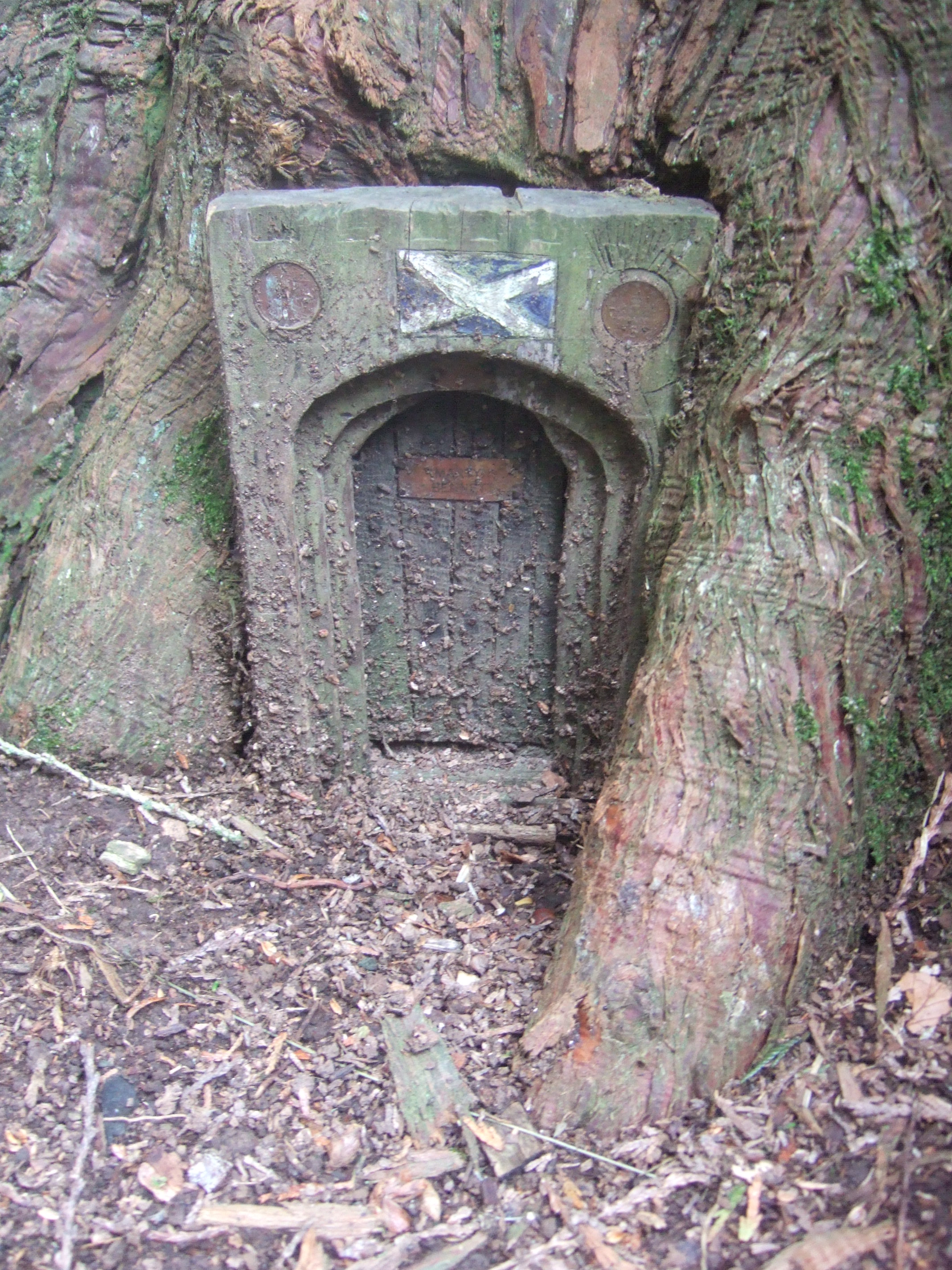
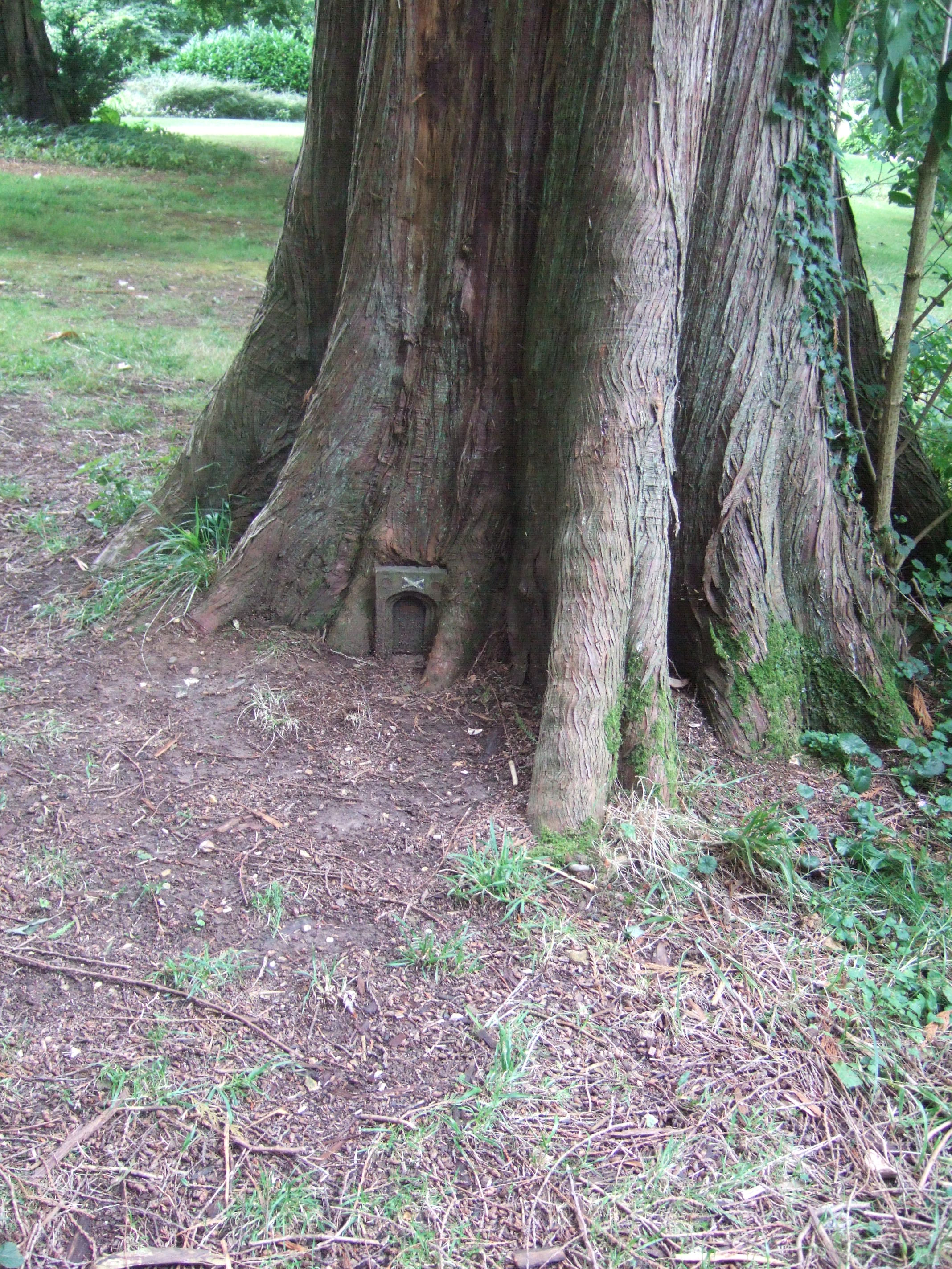
Scottish fairy door in a Western Red Cedar at the Larmer Tree Gardens.
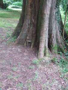
Scottish fairy door in a Western Red Cedar at the Larmer Tree Gardens.

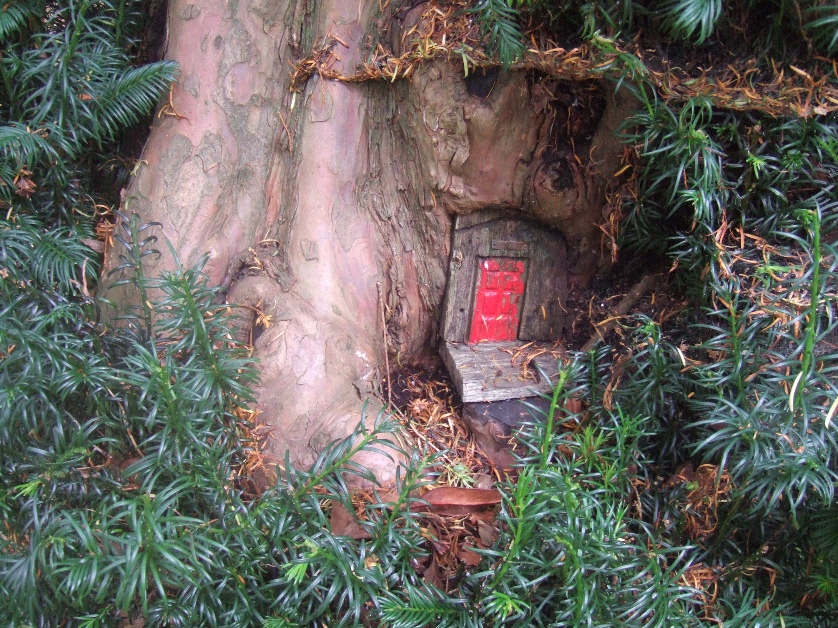
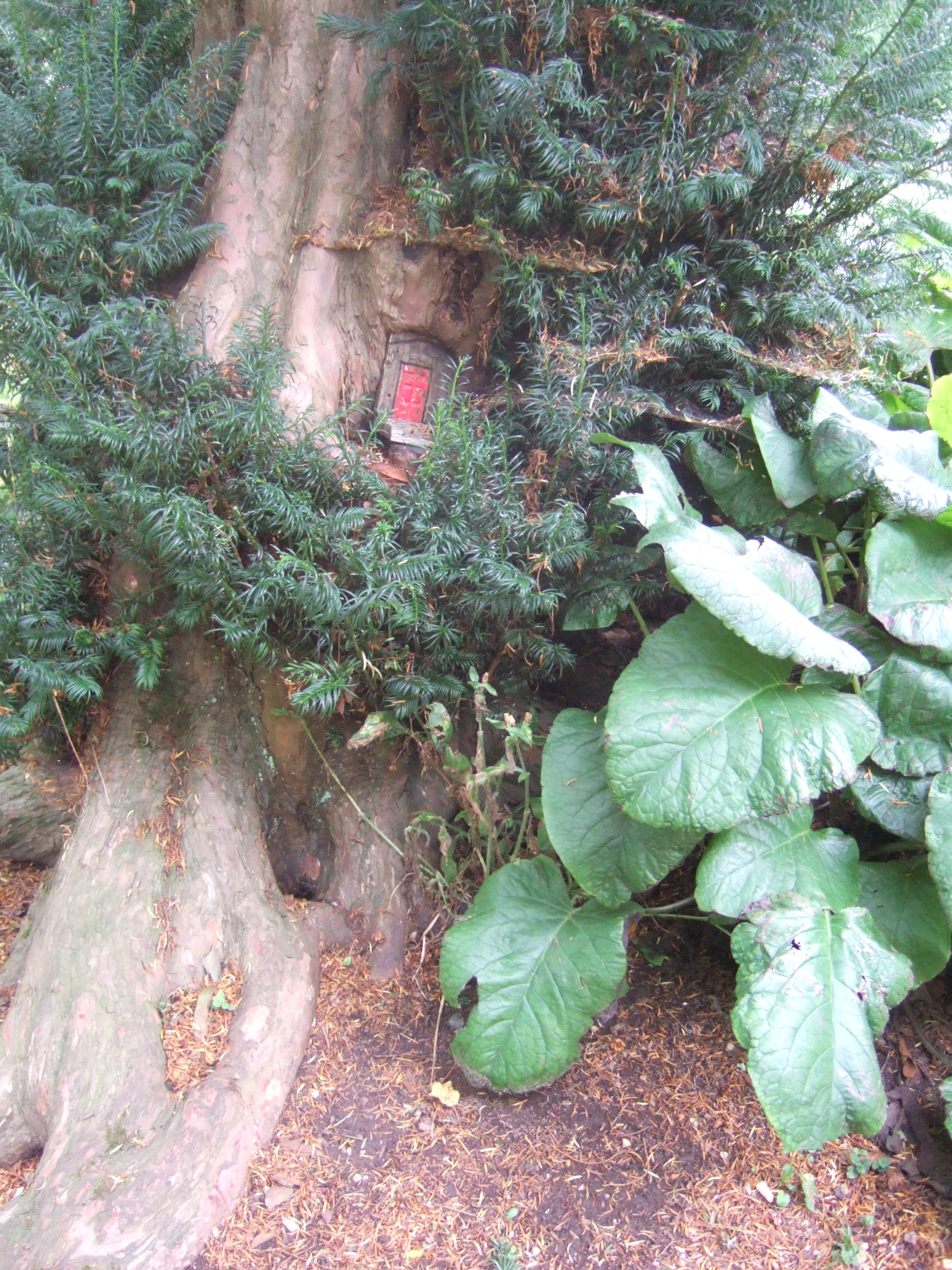
Red fairy door in a yew tree at the Larmer Tree Gardens.

Red fairy door in a yew tree at the Larmer Tree Gardens.
Luckily there’s a fairy door trail leaflet to help you find them all.
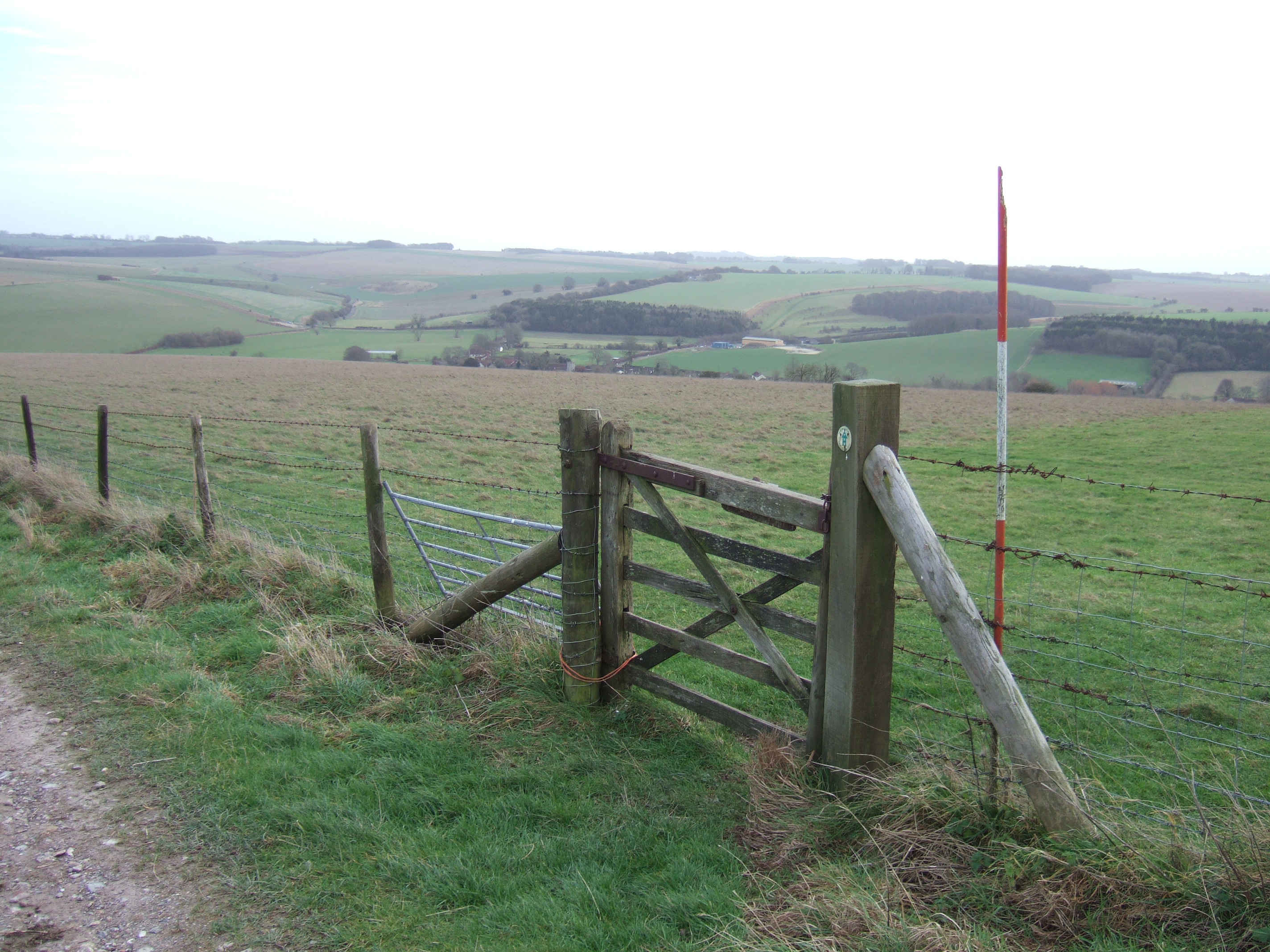
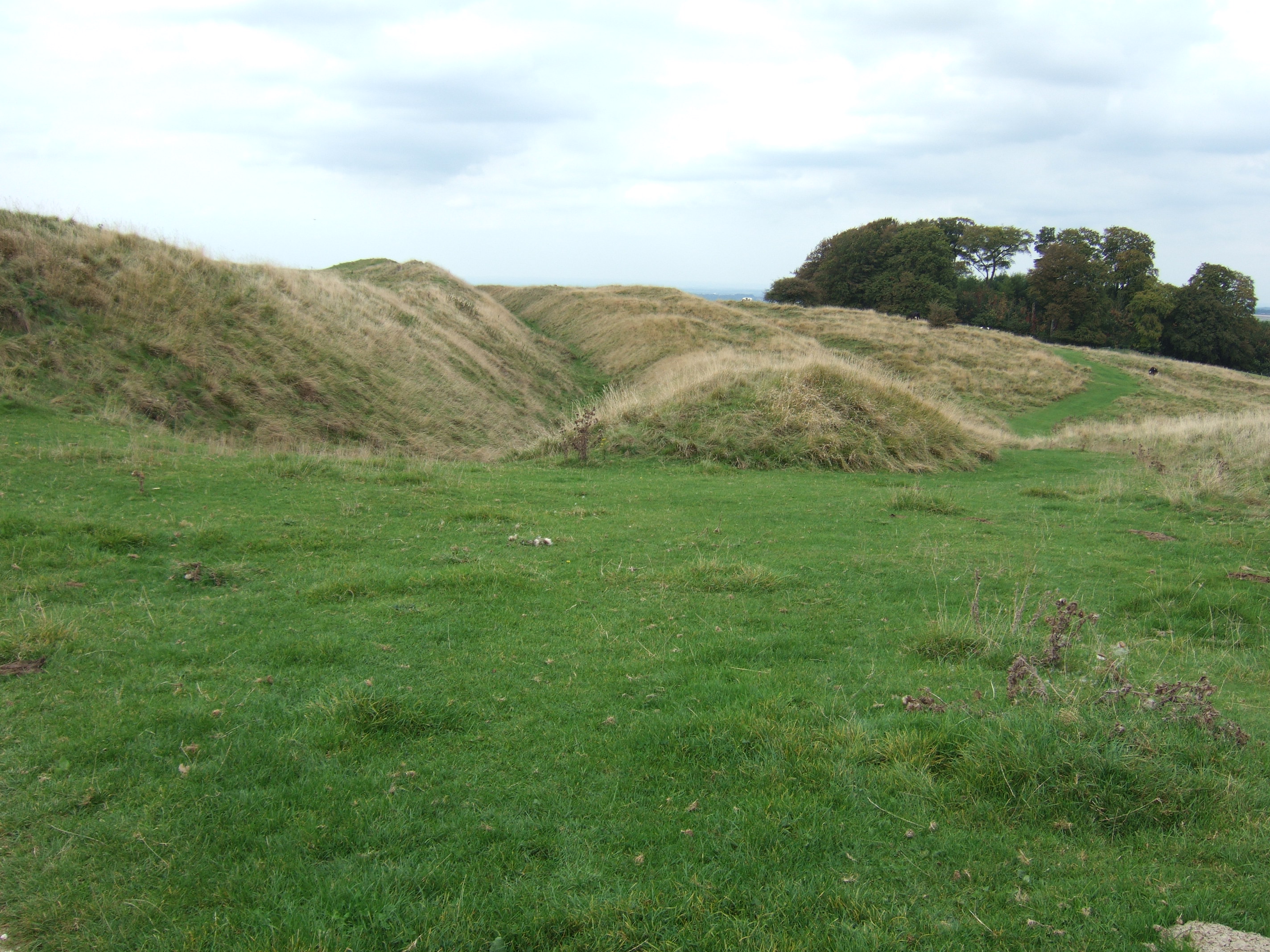
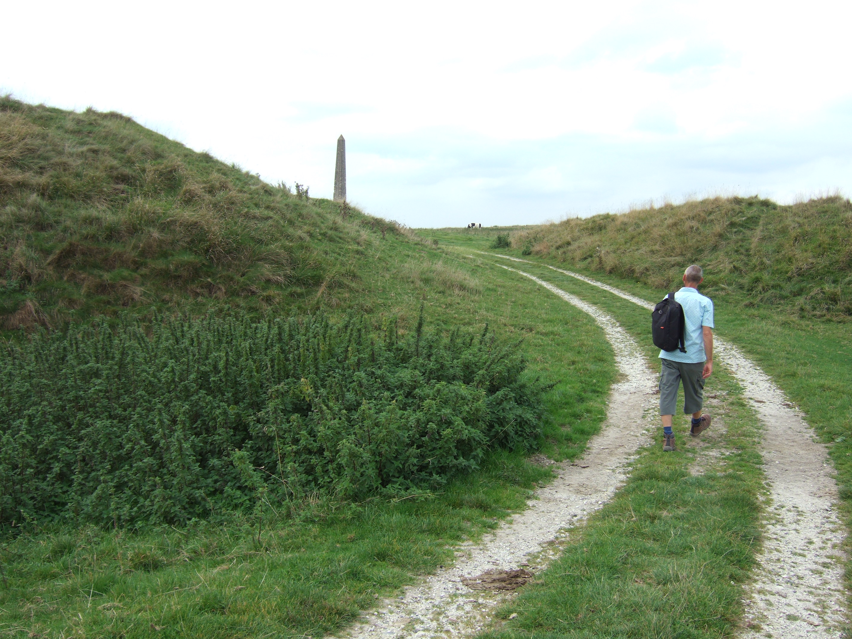
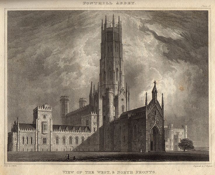
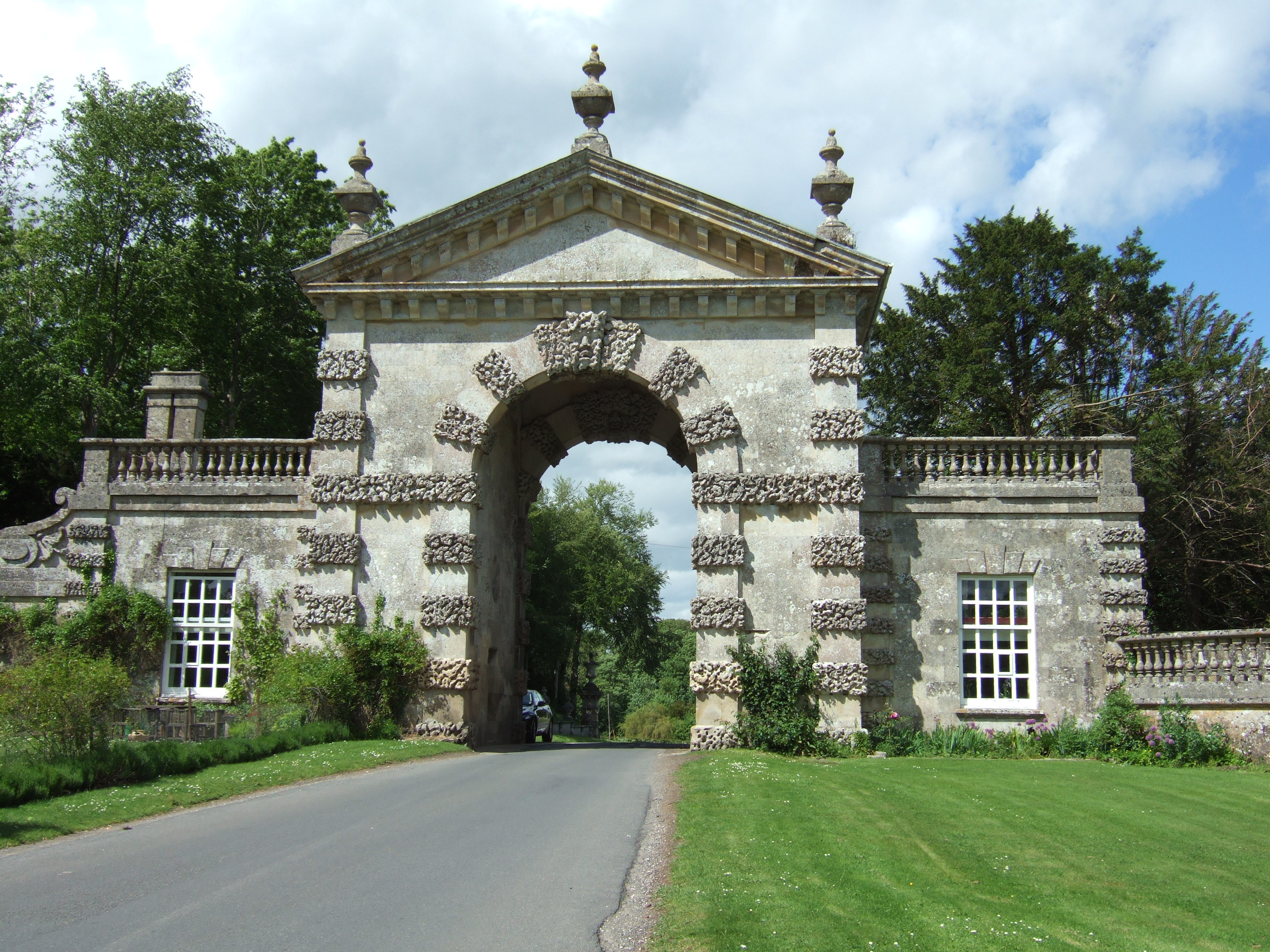
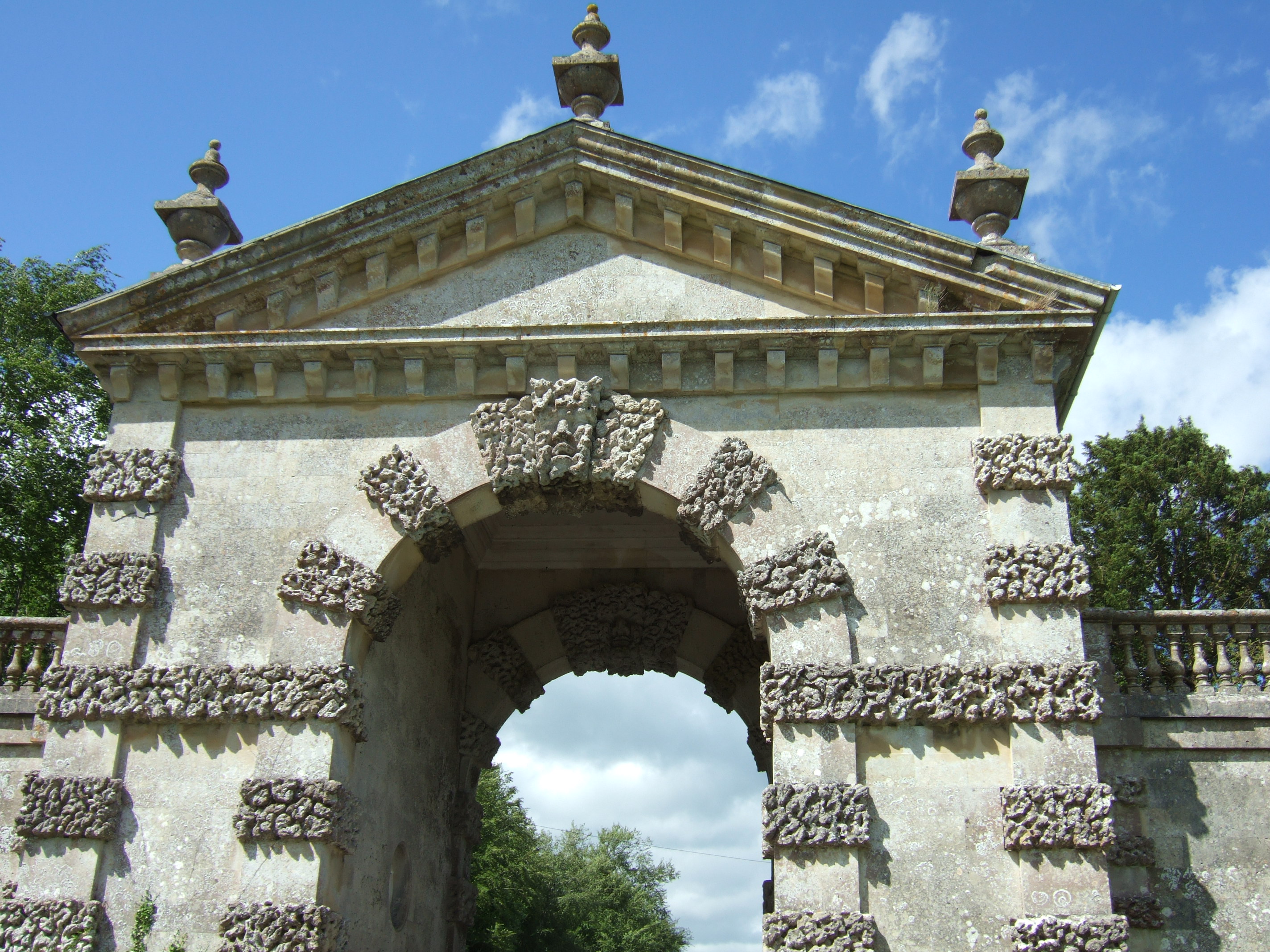
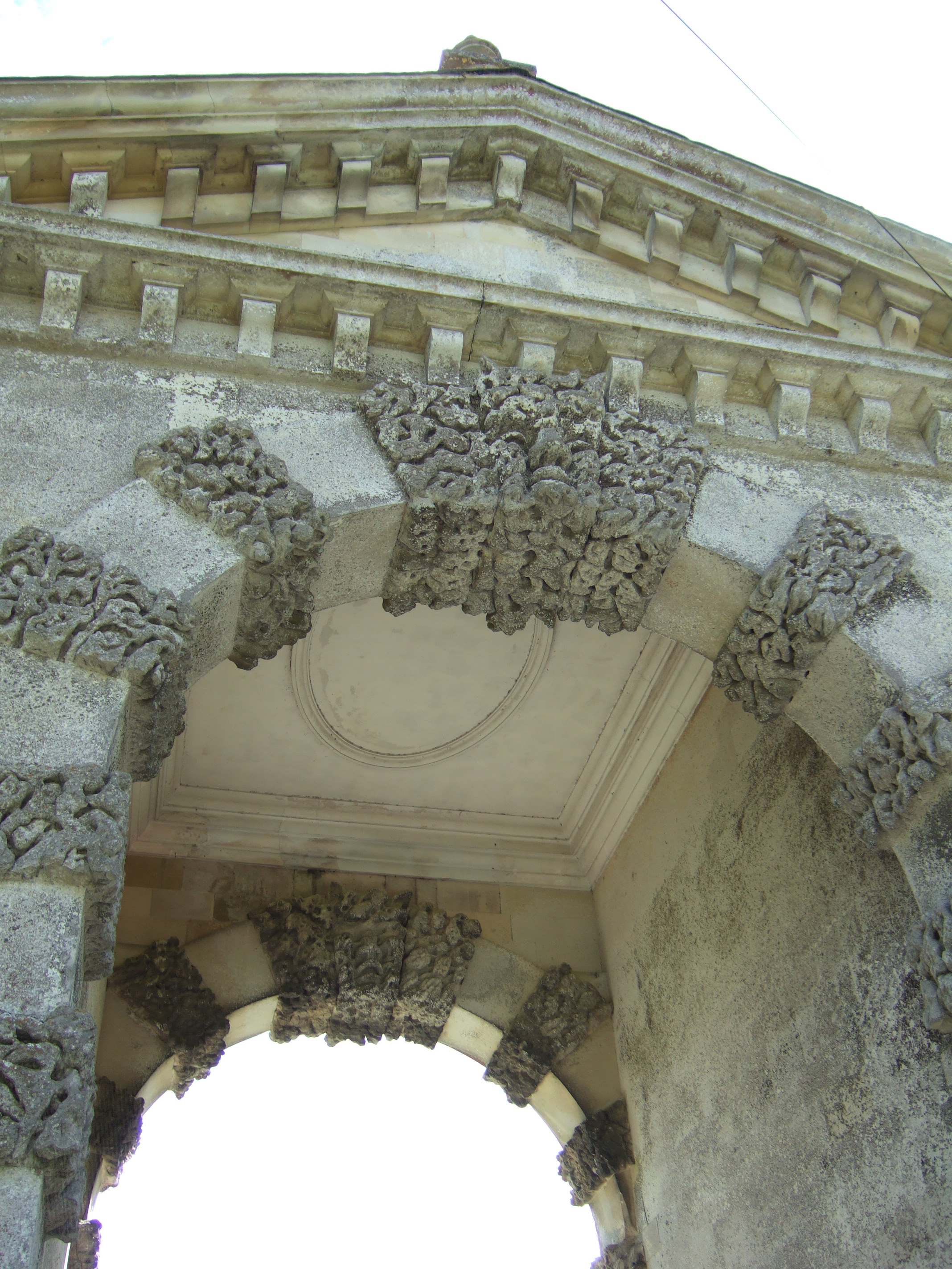
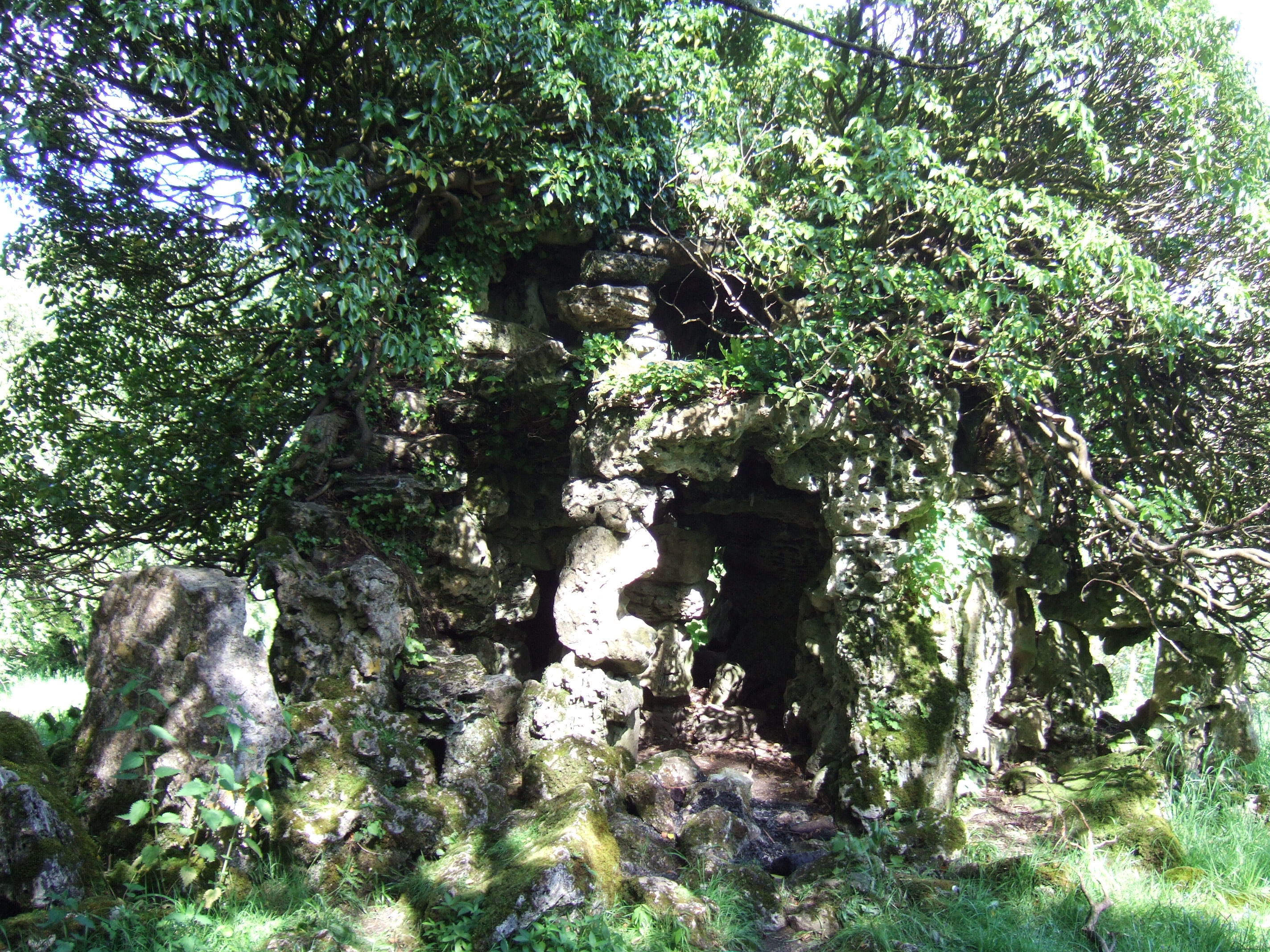
A little way away from the gardens is a massive and very strange Indian-style folly. We walked over to it: it is in the middle of a field, surrounded by quite a deep ditch, and there is a ride cut through the trees to allow a vista of the folly from King John’s House in Tollard Royal. Pitt Rivers owned King John’s House, a 13th century manor house.
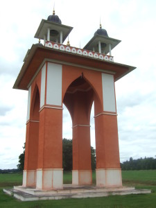
The Indian-style folly near the Larmer Tree Gardens.
The gardens are open at a small charge (currently £4 for an adult). Unsurprisingly they are a favourite venue for weddings, and there are also a couple of festivals held there each year (the Larmer Tree Festival and the End of the Road Festival). Consequently there are often times when the gardens are closed: I have driven to it quite a few times now only to be disappointed. Needless to say it’s highly recommended to check opening days and times online first!
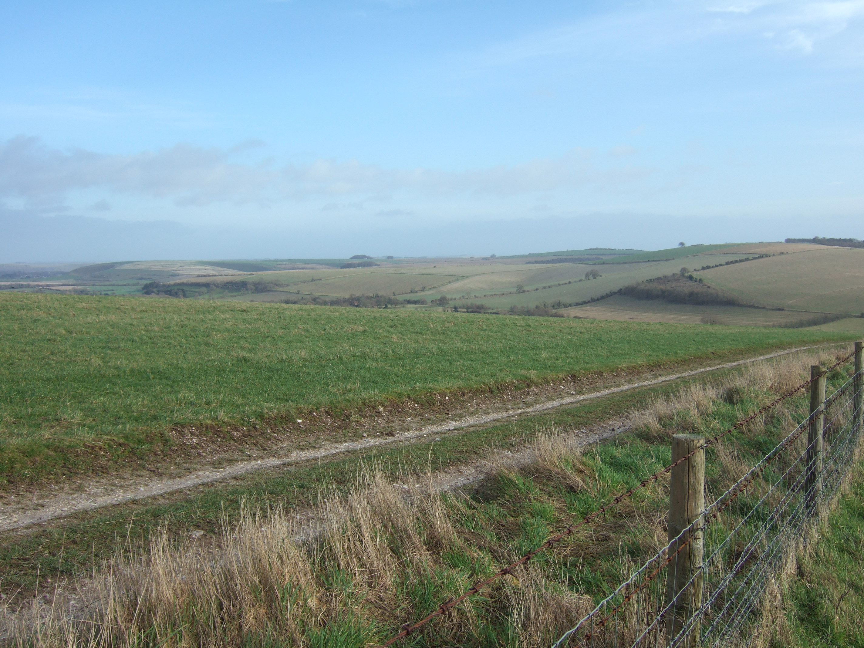
I always think of the gardens being in Dorset rather than Wiltshire, possibly because Pitt Rivers is so inextricably linked with his groundbreaking archaeological work in Cranborne Chase in Dorset; looking at the 1:25,000 OS map of the area I see that the county boundary between Wiltshire and Dorset actually runs along the southern edge of the gardens. Unusual to park our car in Dorset to visit a garden in Wiltshire!
Timeline of the development of the garden buildings:
* 1880 The Temple
* 1881 The Lodge
* 1882 Stag’s Arbour
* 1886 Band View
* 1895 The Singing Theatre; The Larmer Tree studio attached to the Lodge
* 1896 Jubilee Hall
* 1897 Lower Indian Room
* 1899 The General’s Room

Can’t resist it: I’m not a girly girl by any stretch of the imagination (I wear a dress about once a year), but look at this gorgeous gown on a bride at the Larmer Tree Gardens.
Larmer Tree Gardens website.